Request a quote
RMDS®

Detect threats.
Before exposing the operator.

Multisensor acquisition, on-board AI and operational software turn detected threats into georeferenced intelligence shareable with BMS and C2 systems.

Explore Defence systems
00 / 05X-HEAVY ACQUISITIONPHYSICAL PLATFORM / DIGITAL ENVIRONMENT

01 / MISSION SYSTEM

From the ground to
operational decisions.

Sensors, edge AI and BMS operate as one system, turning mission data into actionable information for the operator.

01 / Urban corridor · convoy waiting

Illustrative scenario
  1. 01

    Acquisition

    X-HEAVY /
    THIRD-PARTY UAS

  2. 02

    Sensors

    MULTISPECTRAL /
    MAG / LiDAR

  3. 03

    Processing

    RMDS /
    AI ON-BOARD

  4. 04

    Output

    BMS / C2 / GIS

  5. 05 · OPTIONAL

    Mission action

    ADNS

The operator validates detections and retains decision authority.

02 / TECHNOLOGY

Designed in Italy.
Controlled end-to-end.

UAS PLATFORM

Open platforms.

Modular UAS with sensors and on-board computing configured for the mission.

AI & SOFTWARE

Proprietary intelligence.

Proprietary neural networks and software developed with real Xplora data.

DATA INFRASTRUCTURE

Data control.

Operational data processed in proprietary environments managed in Italy.

Technology developed and managed in Italy.

03 / SYSTEMS

One ecosystem.
Multiple mission configurations.

Platforms, payloads and software operate as an integrated system or as modules within the customer architecture.

MULTI-MISSION UAS

X-HEAVY

One platform. Multiple missions.

X-HEAVY / OVERVIEW
Drag to explore

MULTI-MISSION PLATFORM

X-HEAVY

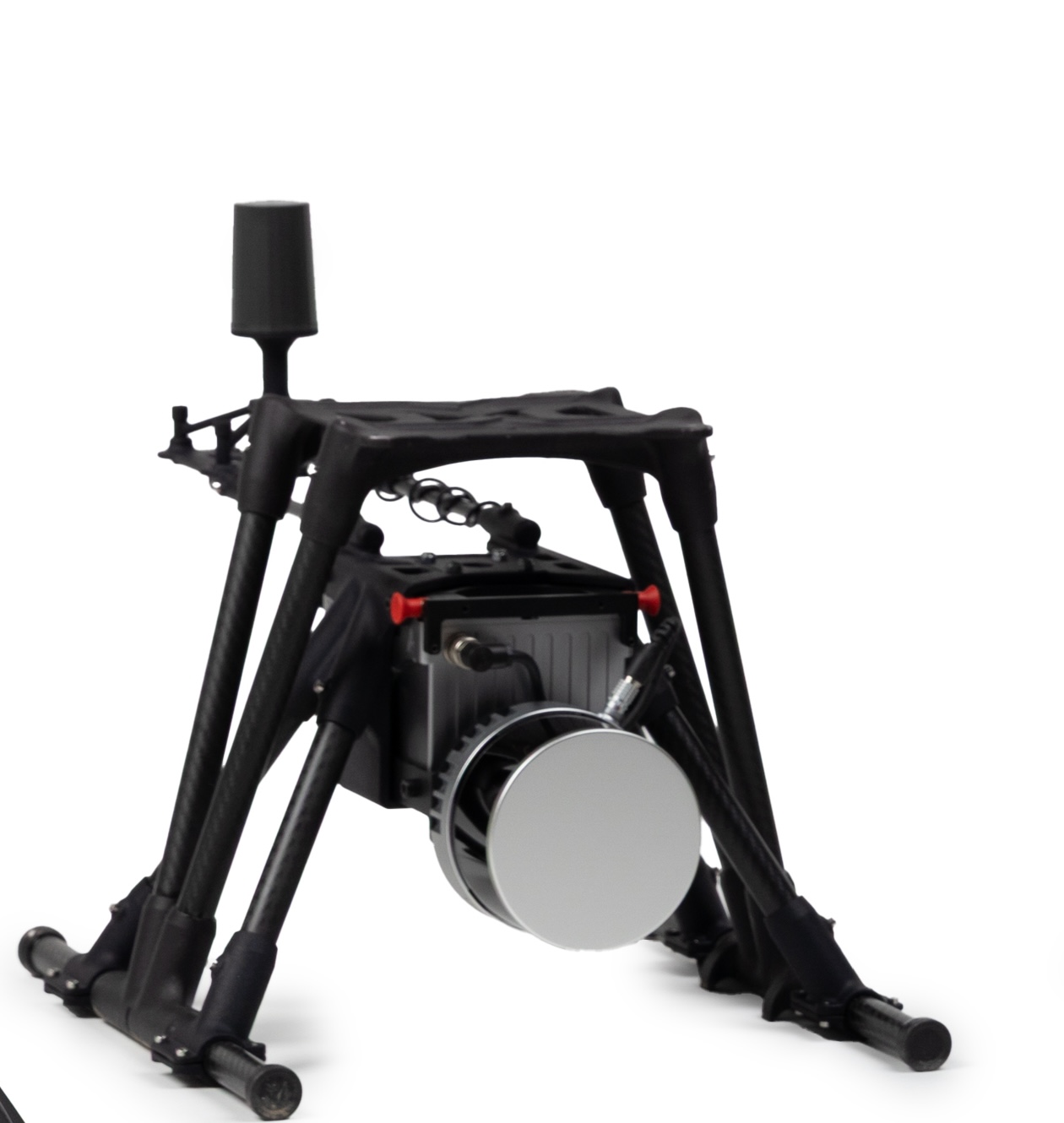
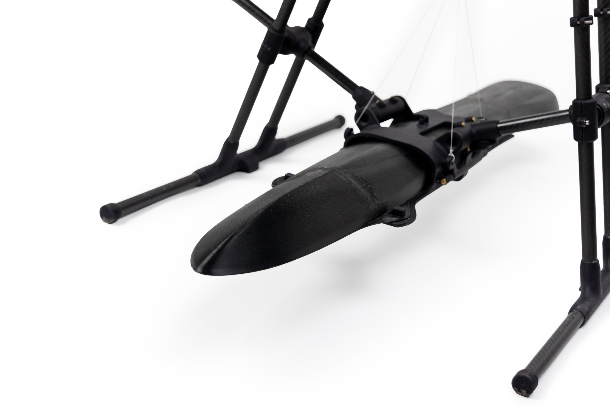
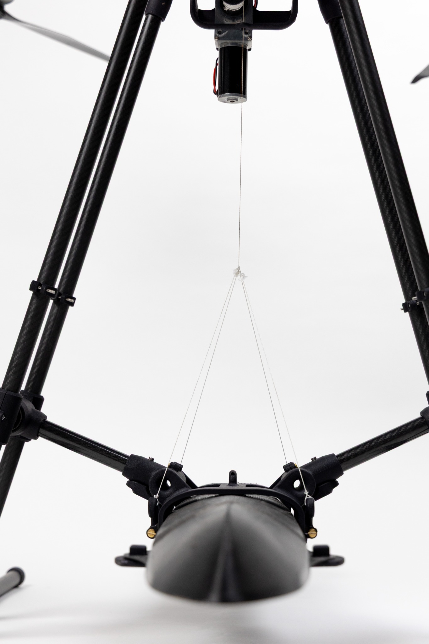
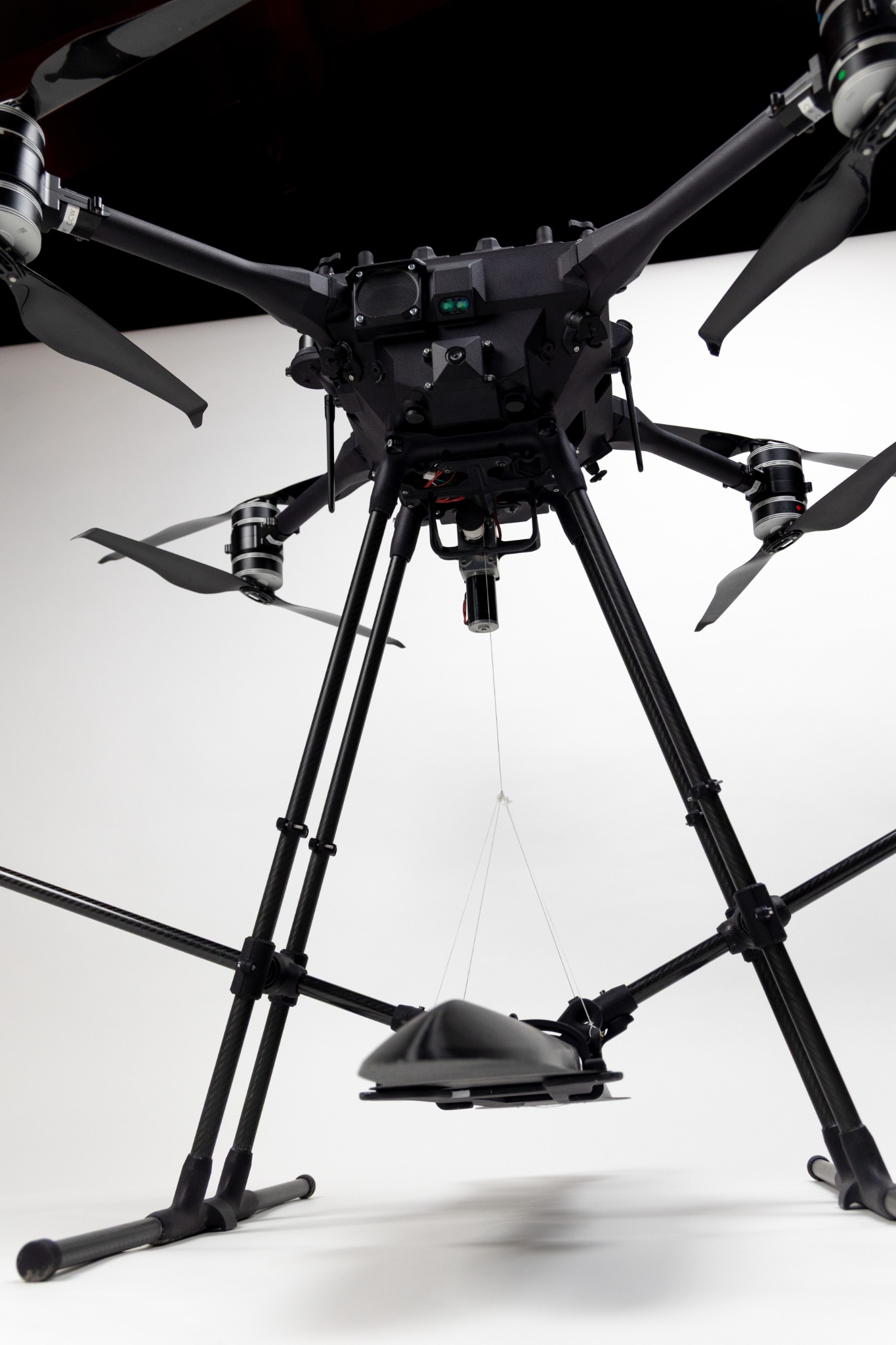
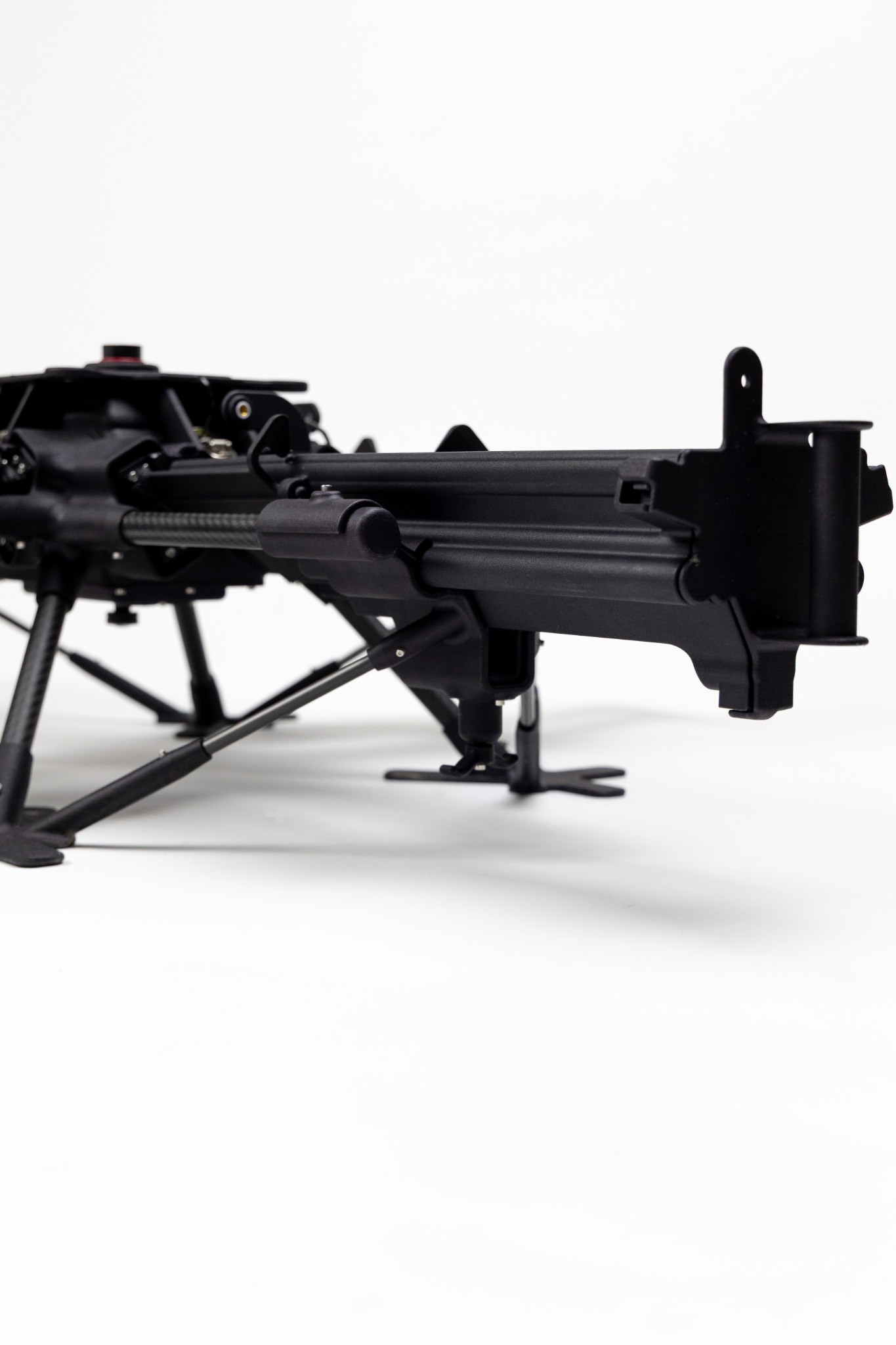
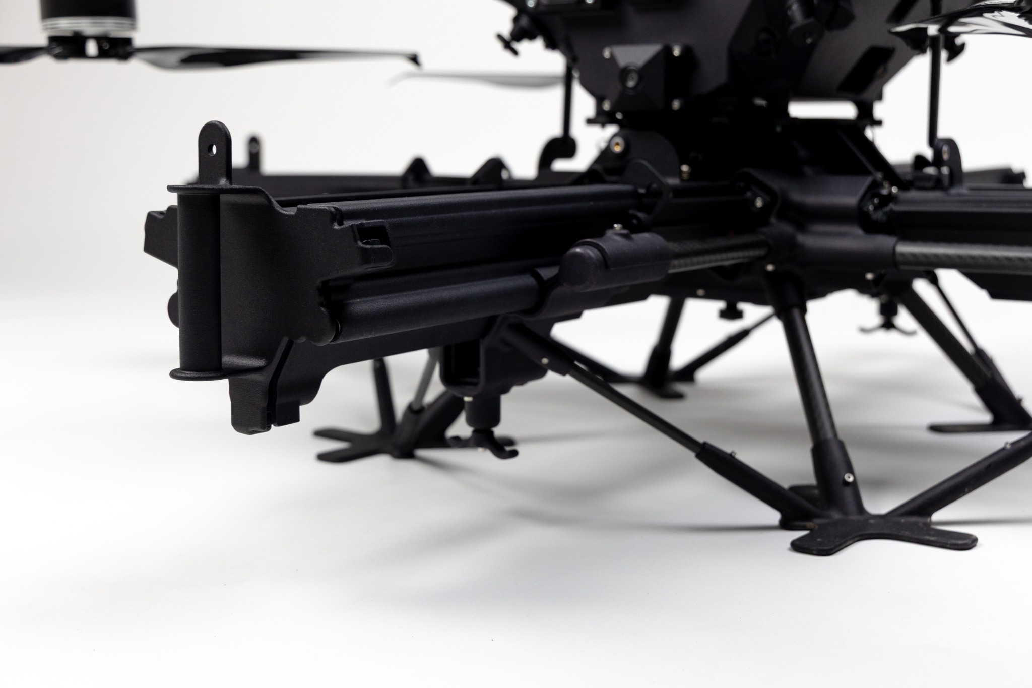
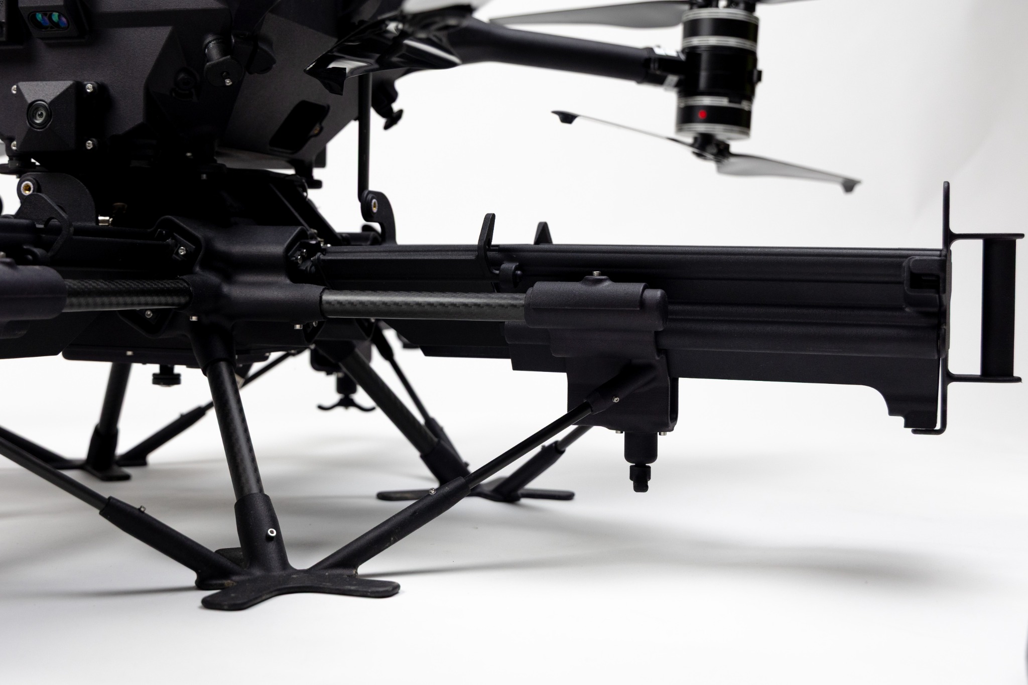
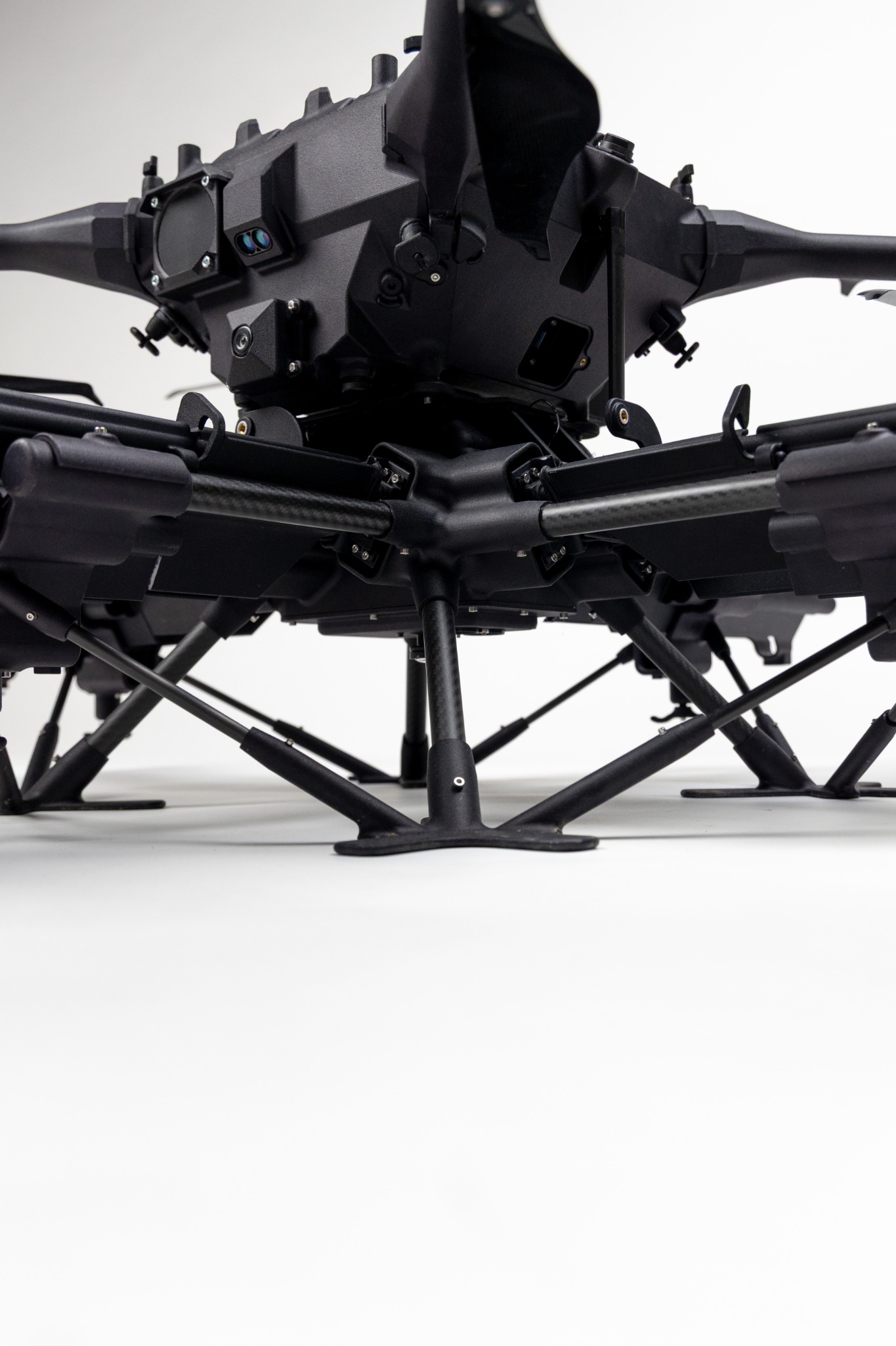
X-HEAVY is Xplora’s modular multi-mission UAS platform, reconfigurable in the field with dedicated payloads.

TECHNICAL SPECIFICATIONS / X-HEAVY

TYPE
Quadcopter or octocopter
MTOM
25 kg
PAYLOAD
Up to 12 kg
ENDURANCE
Up to 80 minutes
OPERATING RANGE
Up to 5 km
DEPLOYMENT
< 5 min
ENVIRONMENTAL
-20°C / +60°C · IP55
RADIO
MIMO / MESH · 5G option
ON-BOARD COMPUTER
NVIDIA Jetson Orin 64 GB
DATASHEET / PDF 2026 CATALOGUE EXTRACTDownload technical specifications Explore payloads

PAYLOADS & INTEGRATION

Xplora capability.
On your platform too.

Xplora payloads can be integrated on compatible third-party UAS, retaining the customer aircraft while adding acquisition, edge processing and mission intelligence.

X-HEAVY remains Xplora’s native platform.

GROUND THREAT INTELLIGENCE

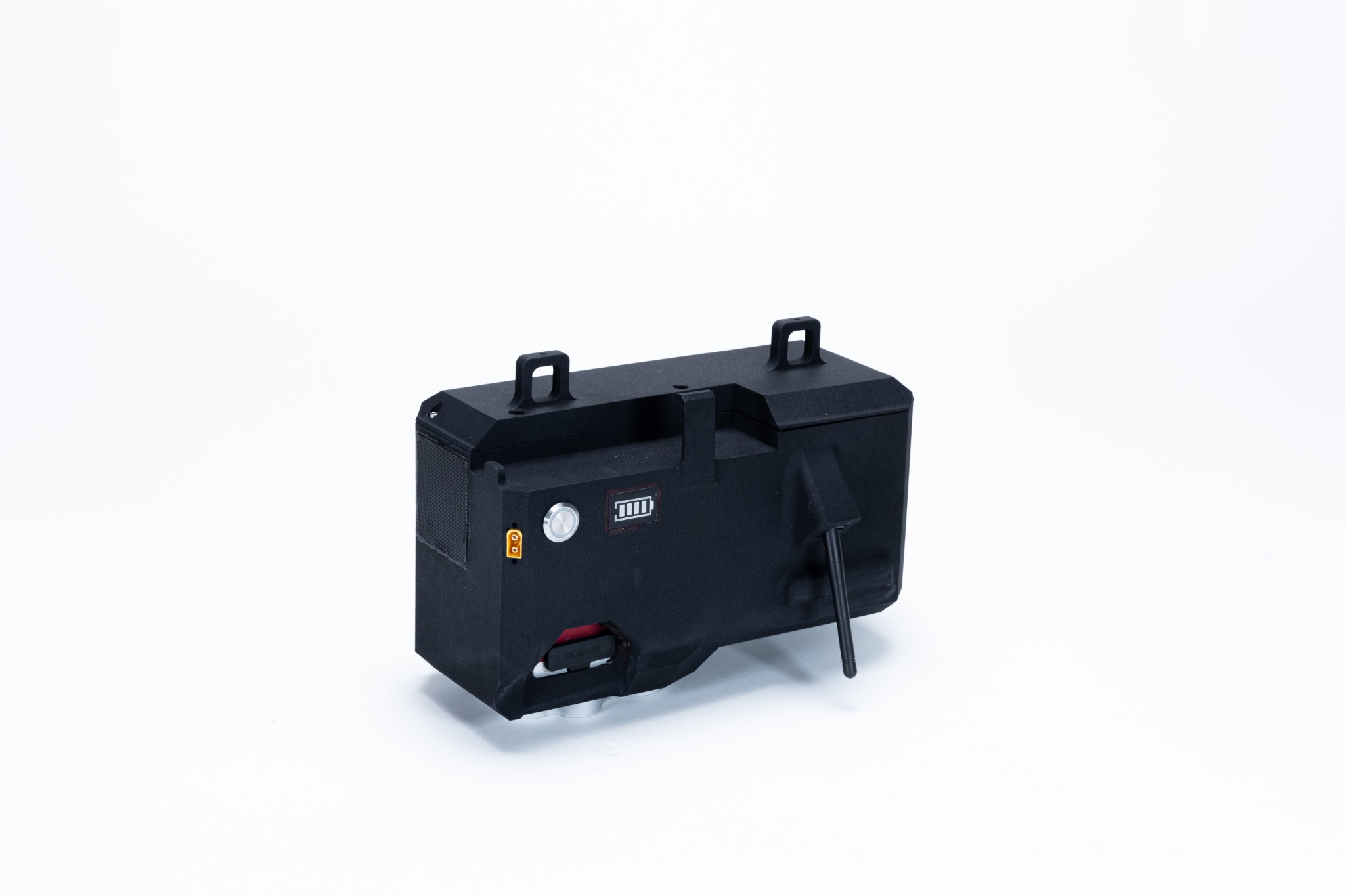
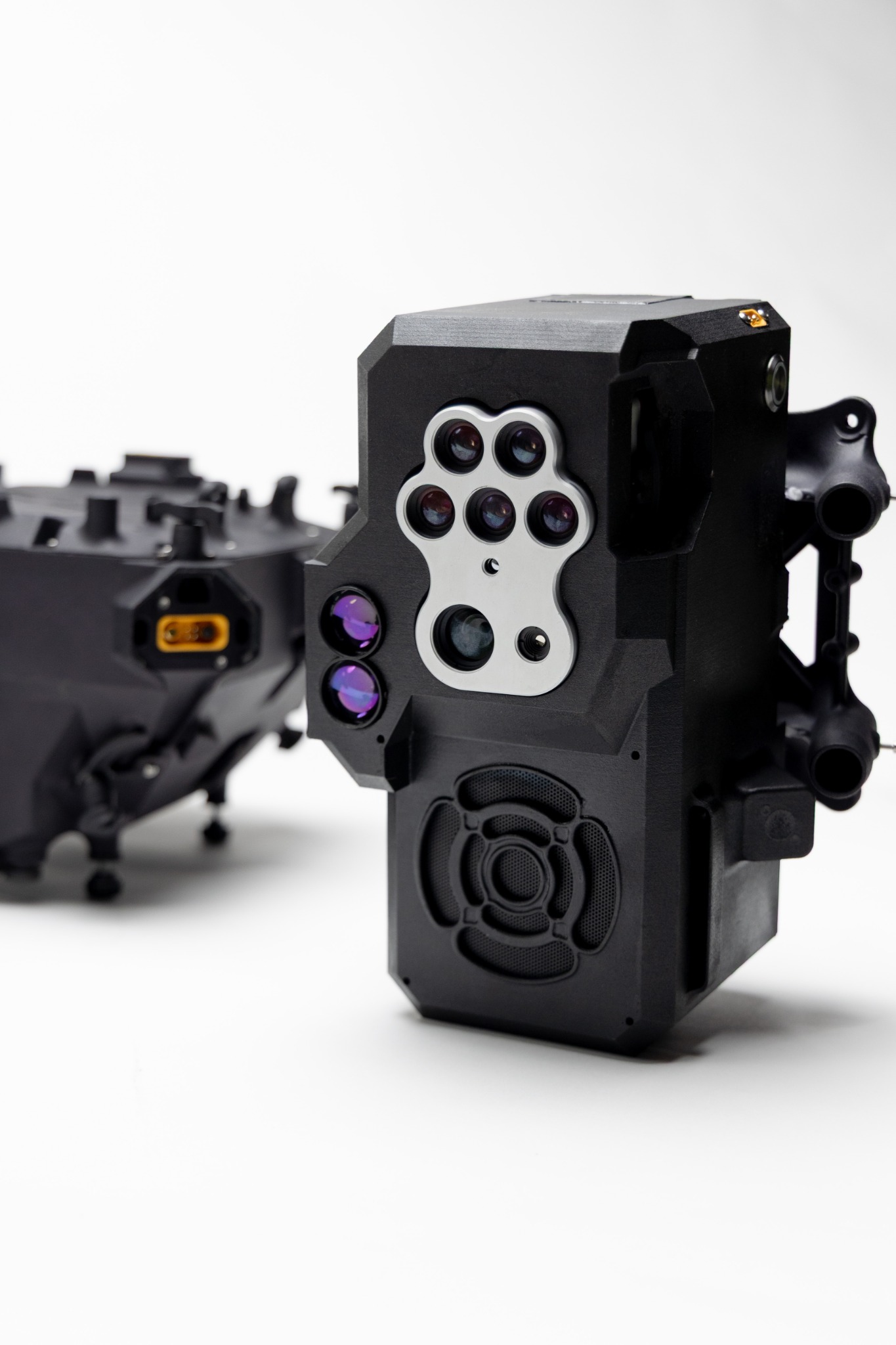
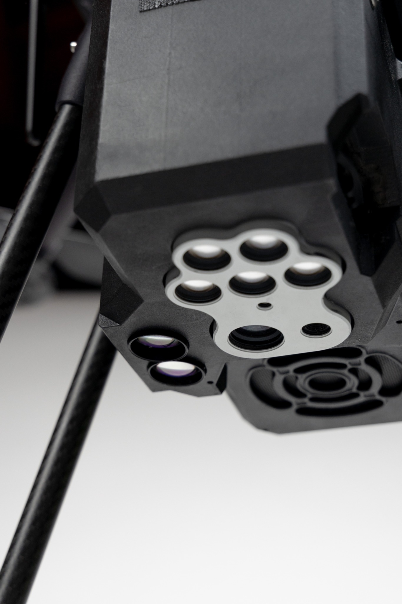
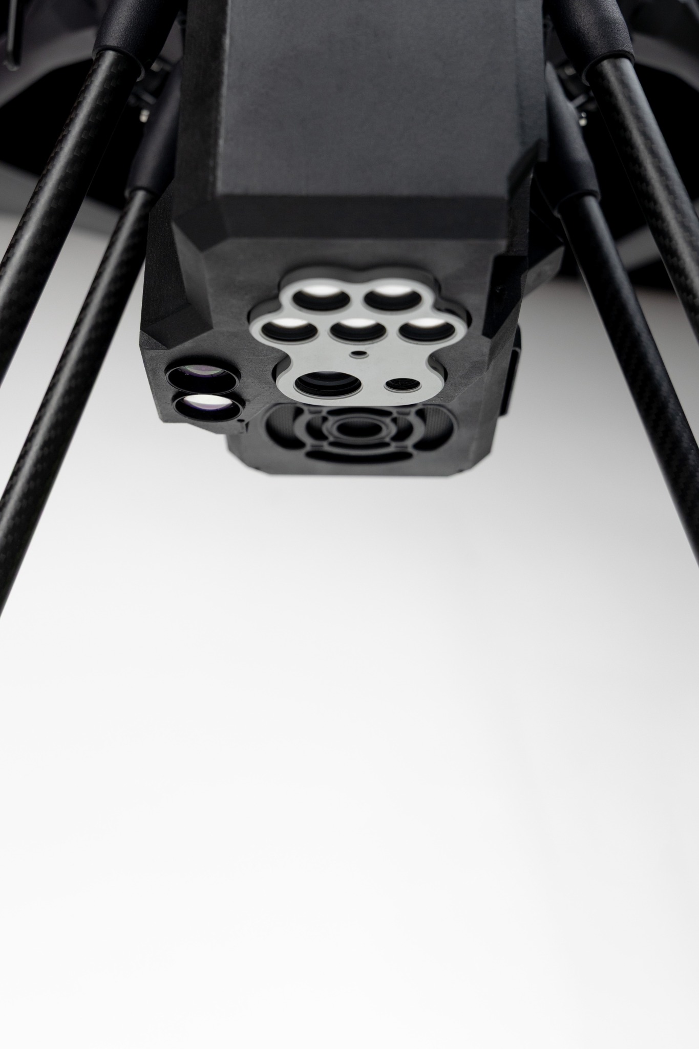
RMDS Blackbox

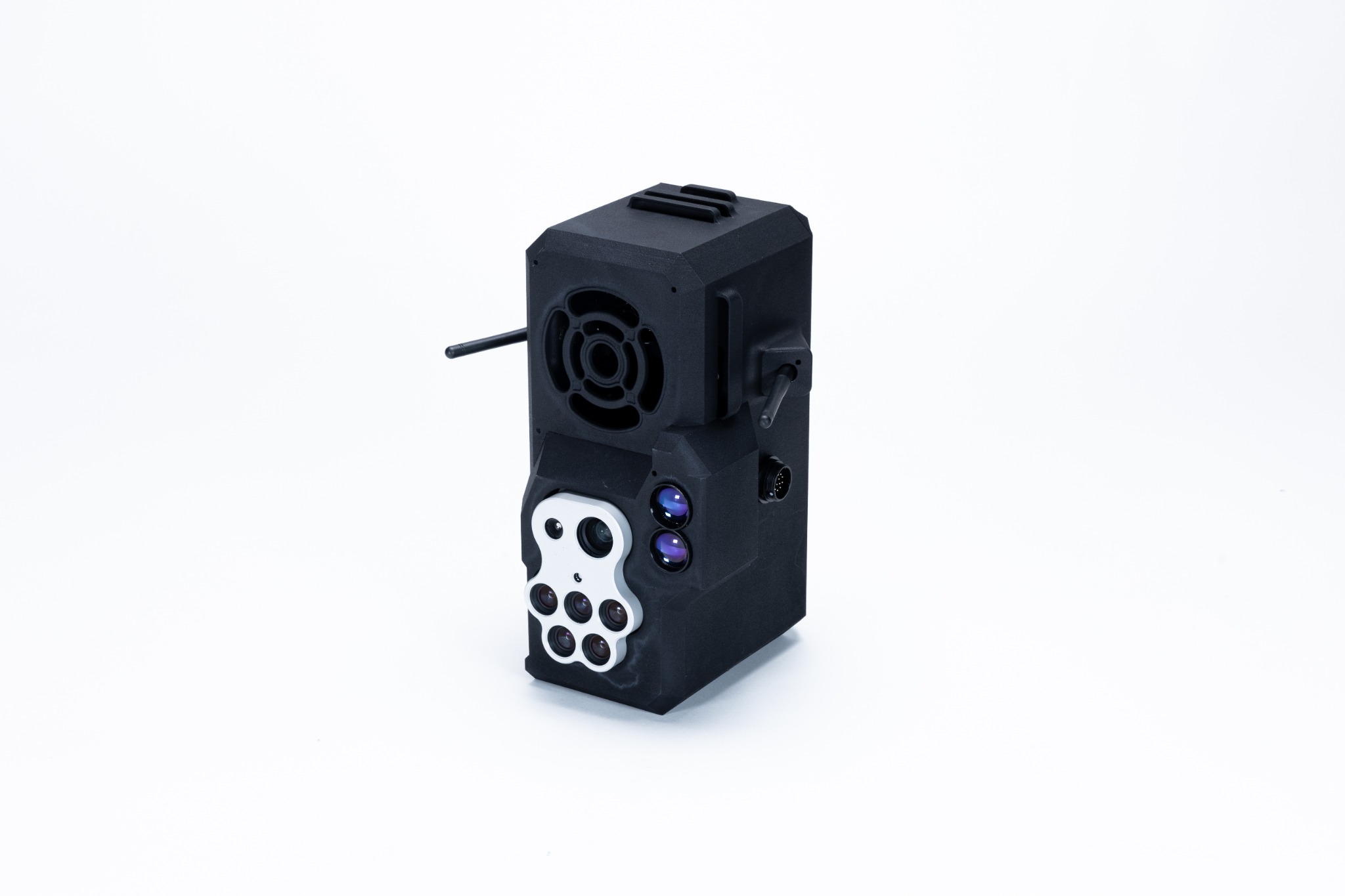
Multispectral system with on-board AI to detect, classify and georeference surface and shallow subsurface threats.
  • Anti-personnel / anti-vehicle mines
  • IED
  • Visible and concealed threats
  • Shallow subsurface objects
  • AI on-board / near real-time
  • Georeferenced output
  • Compatible with third-party UAS integration
RMDS Blackbox: complete unit, three-quarter view
01 / 05

TECHNICAL SPECIFICATIONS / RMDS BLACKBOX

APPLICATION
Mine, IED and UXO detection
SURVEY DEPTH
Surface and shallow subsurface, up to 30 cm
ON-BOARD SOFTWARE
XPLORA RMDS
SCANNING CAPACITY
Up to 3 ha/h
ON-BOARD PROCESSING
Yes · near real-time
JAMMING RESISTANCE
Yes
DETECTABLE MATERIALS
Plastic · metal · wood · organic materials
DATASHEET / PDF 2026 CATALOGUE EXTRACTDownload technical specifications

SURFACE & TERRAIN INTELLIGENCE

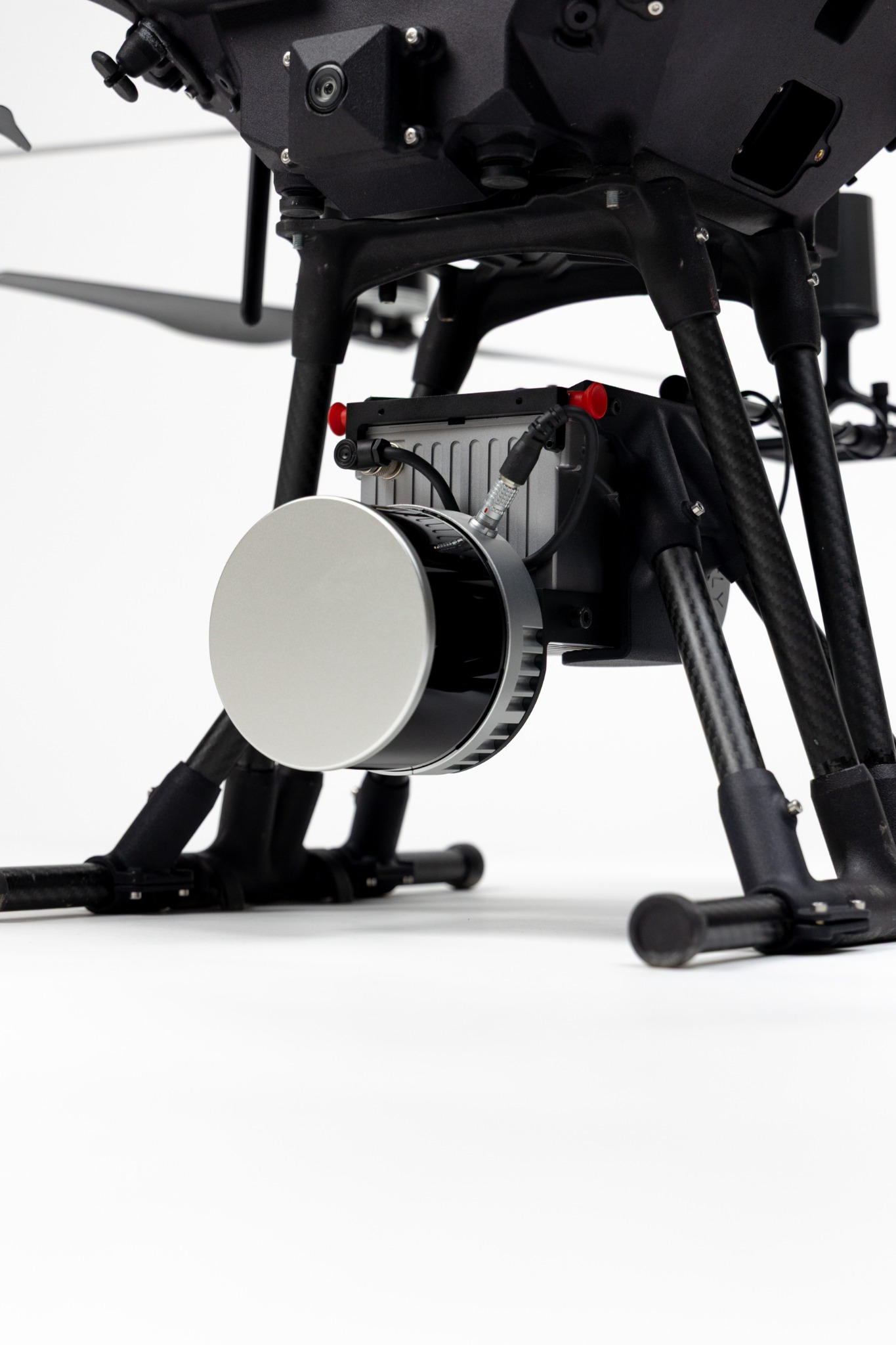
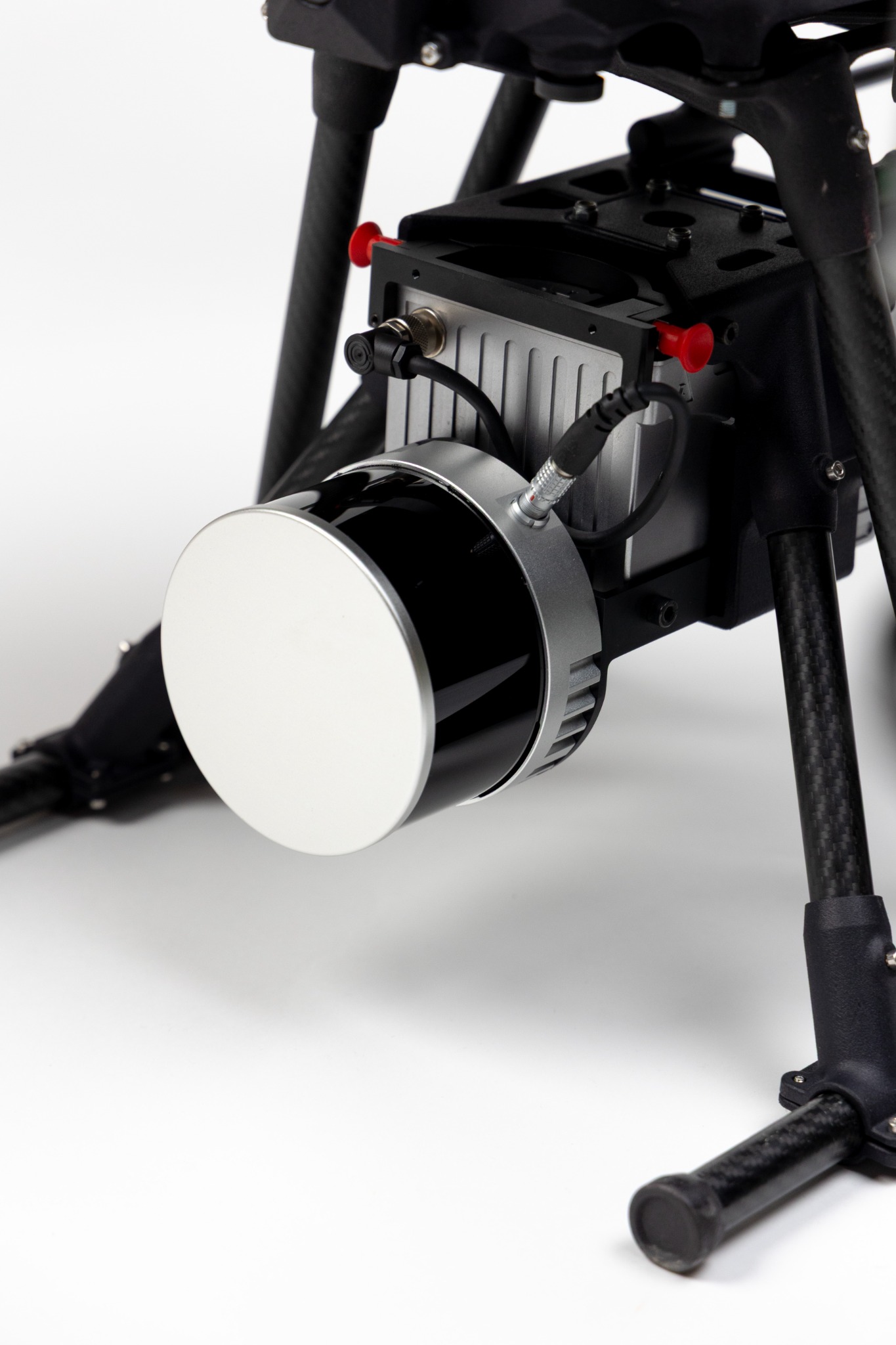
LiDAR

Understand the environment before entering it.

LiDAR reconstructs terrain, structures and access points in 3D for mission analysis.
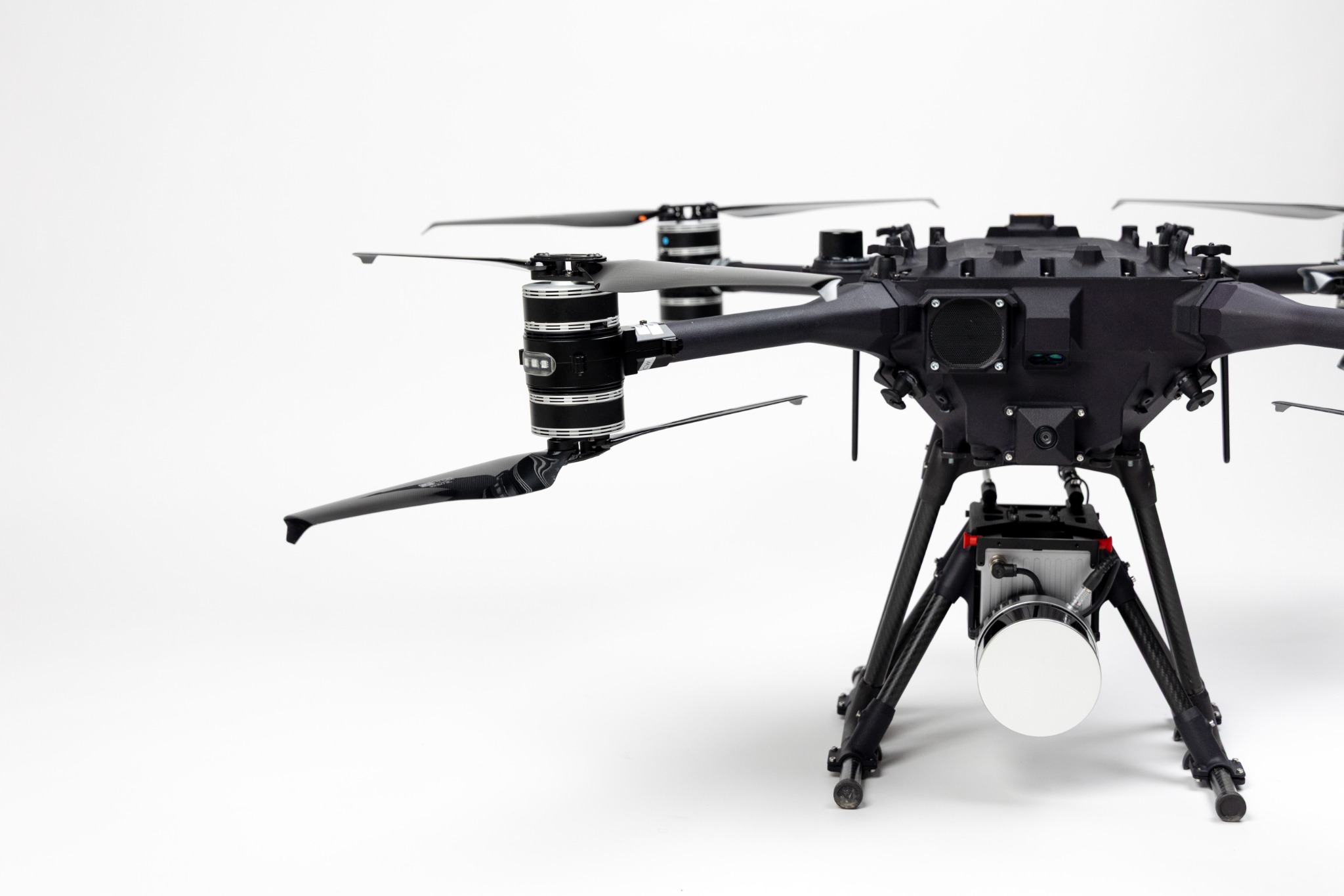
  • Terrain morphology
  • Access routes and clearings
  • Structures and entrances
  • Obstacles and non-natural geometry
LiDAR: installed configuration
01 / 04

TECHNICAL SPECIFICATIONS / LiDAR

APPLICATION
3D mapping of terrain, assets and tunnel entrances
SURVEY LEVEL
Surface
PROCESSING
Near real-time
SCANNING CAPACITY
Up to 20 ha/h
DEPLOYMENT
< 2 min
PROCESSING SOFTWARE
XPLORA DEEPGEO
DATASHEET / PDF 2026 DEFENCE CATALOGUEDownload technical specifications

DEEP SUBSURFACE INTELLIGENCE

MagVRB

Magnetometer system for detecting and georeferencing ferromagnetic anomalies and potential buried threats.
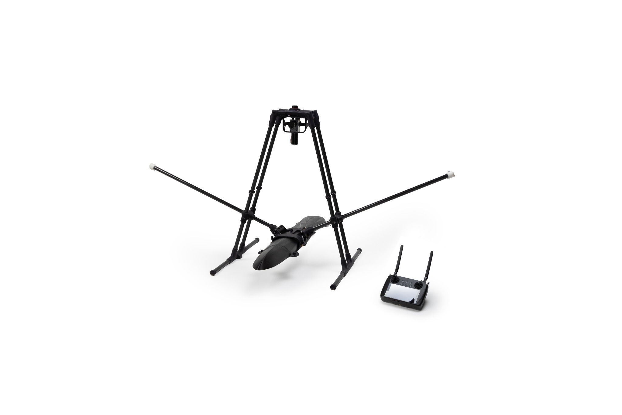
  • Airborne magnetometry
  • Georeferenced anomalies
  • Standalone payload on compatible aerial platforms
MagVRB: complete magnetometer system
01 / 05

TECHNICAL SPECIFICATIONS / MAGVRB

APPLICATION
Subsurface mine, IED and UXO detection
SURVEY DEPTH
Up to 10 m
PROCESSING SOFTWARE
XPLORA RMDS
SCANNING CAPACITY
Up to 2 ha/h
ON-BOARD PROCESSING
Yes · near real-time
JAMMING RESISTANCE
Yes
DATASHEET / PDF 2026 DEFENCE CATALOGUEDownload technical specifications

MISSION ACTION

ADNS

ADNS supports remote intervention on targets detected, georeferenced and validated by the operator.
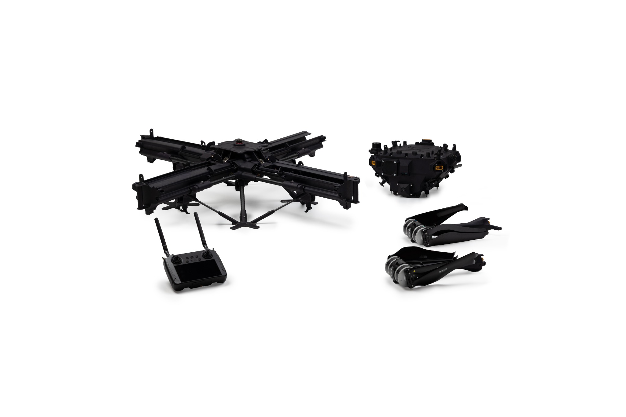
  • Detected and georeferenced targets
  • Operator validation
  • Remote intervention support
ADNS: system overview
01 / 05

TECHNICAL SPECIFICATIONS / ADNS

APPLICATION
Explosive threat neutralisation
CHARGES CARRIED
Up to 16
ON-BOARD SOFTWARE
Visual Navigation software for precise charge placement (ADNS)
CHARGE ACTIVATION
Manual · remote
JAMMING RESISTANCE
Yes
OTHER PAYLOADS
Medical kits and other supplies up to 12 kg
DATASHEET / PDF 2026 CATALOGUE EXTRACTDownload technical specifications

04 / BATTLE MANAGEMENT SYSTEM

From threat to decision.

The BMS turns field detections into operational information that can be visualised and shared; the operator retains decision authority.

ATAK / C2 INTEGRATED

Georeferenced intelligence shared in the Common Operational Picture.
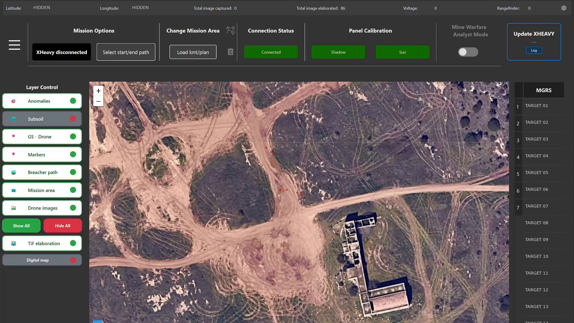
Detection scenario preview in the BMS
RUGGED BOOK / BMS

AI-ASSISTED OPERATIONAL SCENARIOS

One intelligence layer supports distinct operational scenarios.

THREAT MAP

Detect and classify the threat.

Detected threats become a georeferenced map supporting operational decisions.

AI proposes. The operator validates and decides.

DATASHEET / PDF 2026 CATALOGUE EXTRACTDownload technical specifications

05 / OPERATIONAL ADVANTAGE

Understand the threat.
Before exposing the unit.

Performance and timing depend on payload, configuration and operational scenario.

RMDS BLACKBOX

UP TO3 ha/h

Mine & surface threat detection

Mines, IEDs and surface threats detected and classified.

MAGVRB

UP TO2 ha/h

Deep UXO detection

Detects and resolves subsurface ferromagnetic anomalies and UXO.

up to 10 mSURVEY DEPTH

EDGE AI → BMS

NEAR
REAL-TIME

Operational intelligence

Classification and georeferencing transferred during the mission.

MODULAR PAYLOADS

< 2 min

Field configuration

Payload change under the system’s specified conditions.

SHARED OPERATIONAL INTELLIGENCE

ATAK / C2 INTEROPERABILITY

Georeferenced intelligence shareable with BMS, ATAK and C2 systems.

FIELD SENSOR → EDGE AI → BMS / ATAK → COP

OPERATOR AUTHORITY

SOLDIER IN THE LOOP

AI detects and prioritises; the operator retains decision authority.

RESILIENT AUTONOMY

GNSS-DENIED

Autonomous navigation capability in degraded or denied GNSS environments, currently in development.

QUICK PAYLOAD SWAP

MULTI-MISSION

X-HEAVY is reconfigured in the field by changing its payload.

06 / COMMON OPERATIONAL PICTURE

Digitised threats.
Intelligence shared in near real-time.

Sensor detections feed BMS, ATAK and C2 systems, creating a shared operational picture for operators and command.

ATAK / C2 LINK — ACTIVECOMMON OPERATIONAL PICTURE
TRAINING DATA / DEMO-04
Multi-UAS acquisition and Common Operational Picture Animated demonstration over synthetic terrain: three X-HEAVY platforms share surface objects and classified threats. An illustrative corridor is proposed, followed by simulated operator validation. This is not a real mission. ARMORED VEHICLESURFACE OBJECT MINESHARED IEDSHARED SURFACE THREATSHARED CAMOUFLAGEDTHREAT / SHARED XH-01 / LiDAREDGE AI / SHARED XH-02 / RMDS BLACKBOXEDGE AI / SHARED XH-03 / RMDS BLACKBOXEDGE AI / SHARED UNIT / DEMO AI PROPOSED ROUTE
MISSION / DEMO-04ROUTE VALIDATEDOperator validation · demonstration sequence

MULTI-UAS ACQUISITIONEDGE AISHARED THREAT PICTUREAI-ASSISTED DECISION SUPPORT

07 / FIELD VALIDATED

Tested in the field.
Through operational trials and demonstrations.

FIELD TESTS / DEMONSTRATIONS

  • ESERCITO ITALIANO

    ITALIAN ARMY / FIELD TEST

  • U.S. ARMY

    U.S. ARMY / MSPIX24

  • NATO ALLIED COMMAND TRANSFORMATION

    NATO ACT / DEMONSTRATION

“This is one of the first looks we have had at something that is UAS-borne that can detect hazards without putting Soldiers into the threat.”
SGT. KYLE HENRY16TH BRIGADE ENGINEER BATTALION · US ARMYMSPIX24 · FT. LEONARD WOOD

DEFENCE

Configure the system
around the mission.

Platforms, payloads and software can be configured for the operational scenario and the end user’s existing architecture.