Utilities & Grid
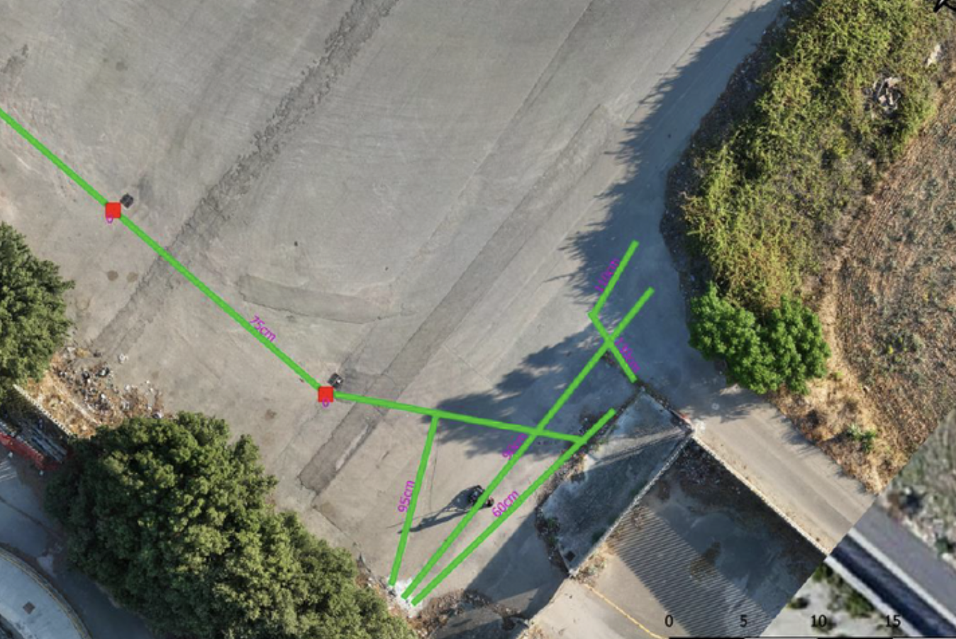
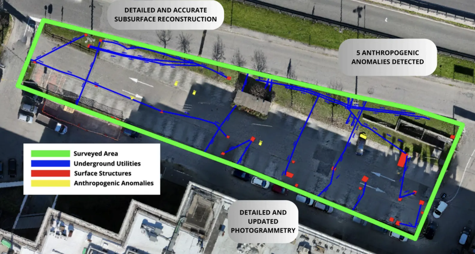
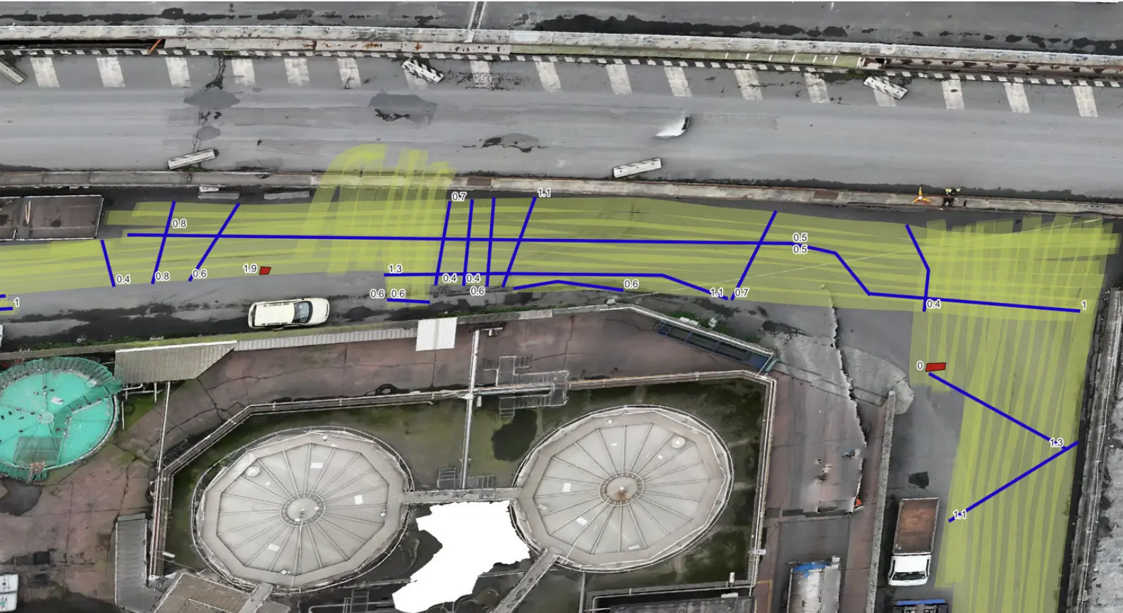
Subsurface mapping for a new utility line in Piacenza.
Subsurface characterization and GIS deliverables supported the design of a new utility line.
GIS + DWGDesign support
Explore the case study  Request a quote
Utilities & Grid / SaaS
Italgas S.p.A.
Underground utility mapping in Cisterna di Latina.
THE CONTEXT
Italgas S.p.A. used the platform to process data for underground utility mapping and subsurface analysis in Cisterna di Latina, Italy.
The project used a SaaS delivery model: the client uploaded raw data to DeepGeo for automated processing and delivery of the results.
THE CHALLENGE
The project aimed to optimise analysis time and operating costs while maintaining accurate utility and anomaly localisation.
Processing needed to interpret large volumes of GPR and magnetometer data and deliver a web-accessible 3D representation without direct on-site intervention.
XPLORA’S APPROACH
Xplora automatically analysed the client’s multisensor datasets, using cloud AI processing, 3D reconstruction and technical reports shared through the platform.
Raw data uploaded through the SaaS interface.
Automated analysis with the proprietary DeepGeo engine.
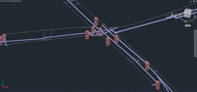
3D representation of ground layers and detected anomalies.
Georeferenced maps, cross-sections and technical reports shared on the platform.
DEEPGEO.AI
DeepGeo analysed the uploaded data and generated reconstructions and georeferenced maps. The original case report explicitly identifies this as a SaaS project.
OUTPUTS
3D reconstruction of ground layers and detected anomalies.
Georeferenced maps and cross-sections showing buried utilities.
Validated technical report shared on the platform.
RESULT
−65%
Xplora’s published report states a 65% reduction in processing time compared with traditional methods. This result relates to the SaaS project; the source does not detail the measurement baseline.
EXPLORE MORE
Utilities & Grid
Subsurface characterization and GIS deliverables supported the design of a new utility line.
EPC & Infrastructure
Non-invasive surveys and GIS deliverables to locate undocumented buried infrastructure.
Utilities & Grid
Underground utility mapping supported the layout of high-power charging cables at the Vulcano Shopping Center in Nola.
YOUR NEXT PROJECT
Let’s discuss your site, the risk and the outputs you need.
Request a quote