Utilities & Grid
Utility mapping for Tesla’s EV charging infrastructure.
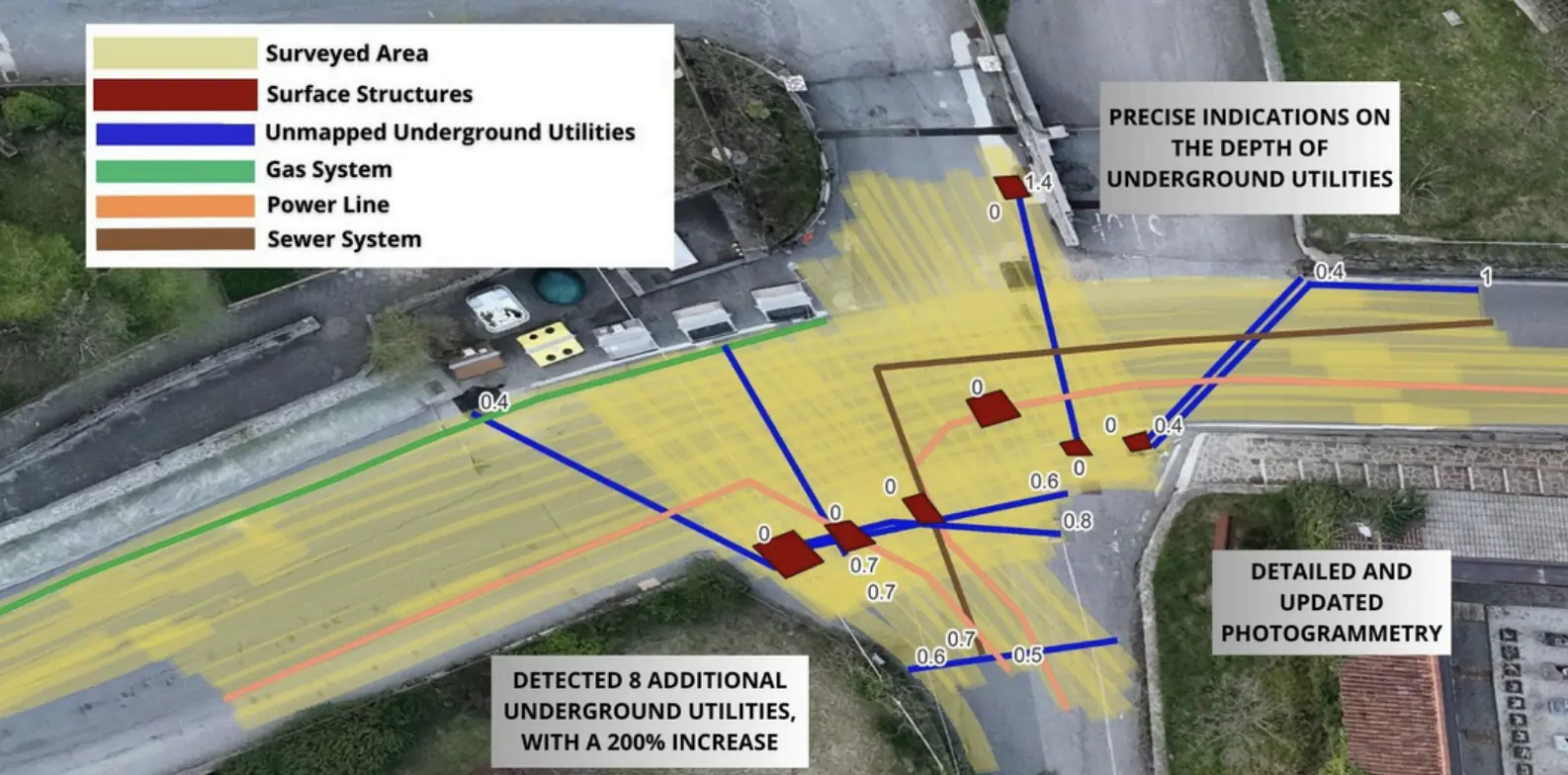
Underground utility mapping supported the layout of high-power charging cables at the Vulcano Shopping Center in Nola.
GIS + DWGTechnical deliverables
Explore the case study  Request a quote
EPC & Infrastructure / Utilities & Grid
Escolight Srl / RFI
THE CONTEXT
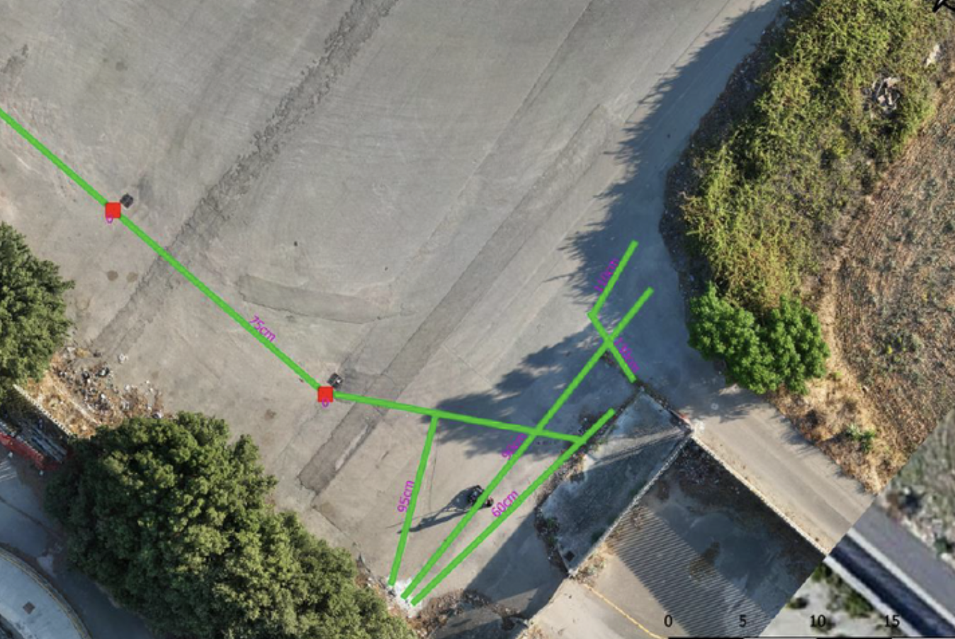
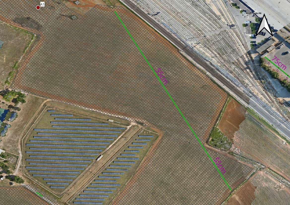
Underground utility mapping and non-invasive geophysical analysis covered a 150,000 m² area for the Escolight Srl / RFI project.
This case study covers utility mapping. A separate UXO risk assessment entry on the original website remains in the inventory pending confirmation of how the two activities relate.
THE CHALLENGE
The project needed to locate undocumented buried infrastructure to plan construction and limit conflicts during excavation.
The scale of the site and varying electromagnetic ground conditions required advanced processing of the acquired signals.
XPLORA’S APPROACH
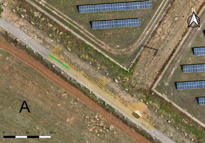
Electromagnetic and GPR surveys were followed by proprietary software processing to identify buried utilities and produce georeferenced network mapping.
Electromagnetic and GPR data acquisition across the survey area.
Signal processing with proprietary software.
Identifying buried infrastructure.
Georeferenced utility map and accompanying technical report.
OUTPUTS
Georeferenced GIS map showing buried utility routes.
Accompanying technical report.
RESULT
Processing identified buried infrastructure and produced a georeferenced GIS map and technical report. No depth KPI is shown because the unit in the source PDF differs from that on the case study page.
EXECUTIVE SUMMARY
EXPLORE MORE
Utilities & Grid
Underground utility mapping supported the layout of high-power charging cables at the Vulcano Shopping Center in Nola.
Utilities & Grid
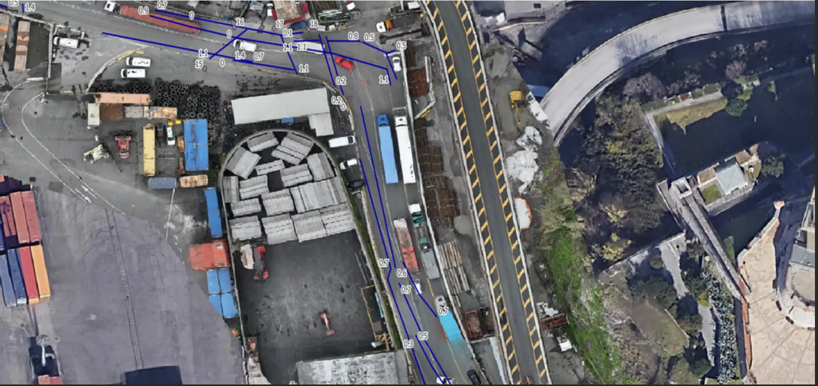
Mapping linear utilities and buried structures in a densely developed area of Genoa.
Utilities & Grid
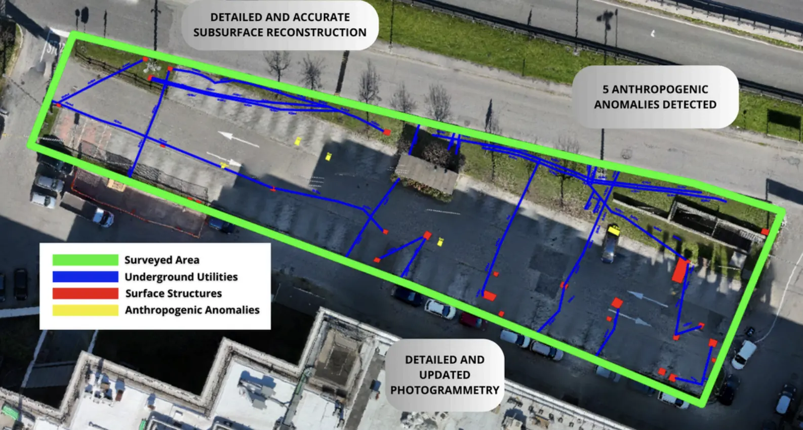
Three-dimensional utility mapping supported the installation of new services while limiting disruption to traffic.
YOUR NEXT PROJECT
Let’s discuss your site, the risk and the outputs you need.
Request a quote