Targeted GPR detection
Local utility and conflict checks before work begins.
 Request a quote
Subsurface intelligence for infrastructure, utilities and energy.
Xplora turns subsurface data into useful information for design, excavation and infrastructure management.
01 / Buried networks & Utilities
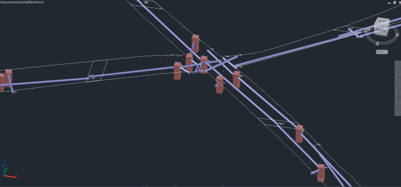
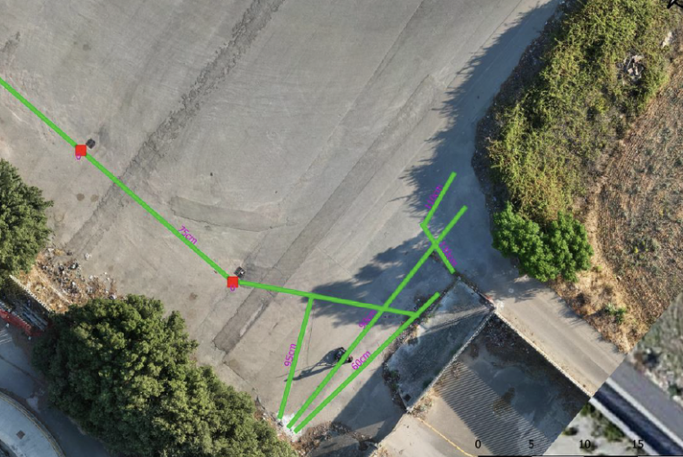
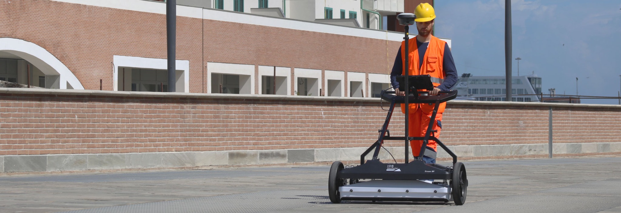
Xplora locates and reconstructs buried utilities, delivering position, depth and geometry in 2D, 3D and GIS outputs.
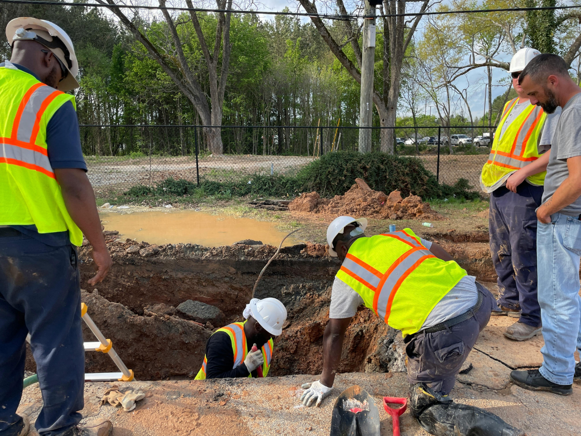
Local utility and conflict checks before work begins.
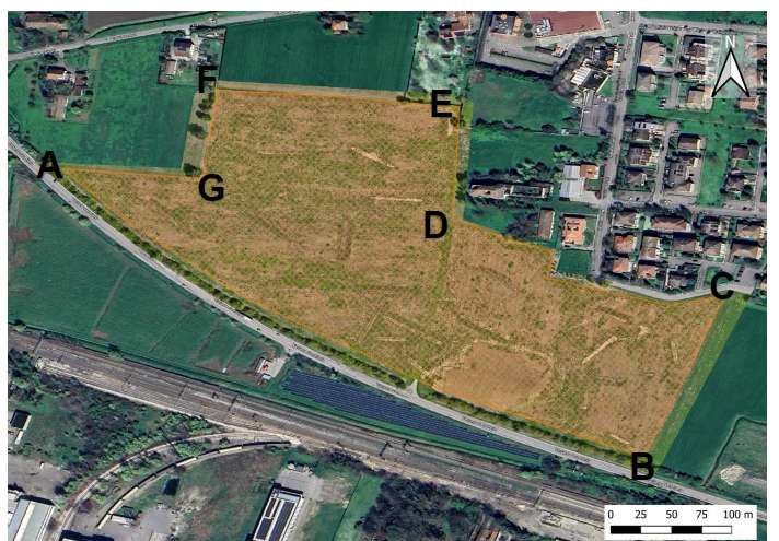
Survey of routes and large areas, adapted to project scale.
Georeferenced reconstruction of incomplete or outdated networks.
Existing utilities located before work begins.
Georeferenced data for updating systems and network assets.
Compatible datasets processed in DeepGeo.AI through to technical outputs.
RELATED SOLUTIONS
02 / EPC & Infrastructure
Xplora integrates subsurface data to reduce conflicts and support design and pre-construction planning.
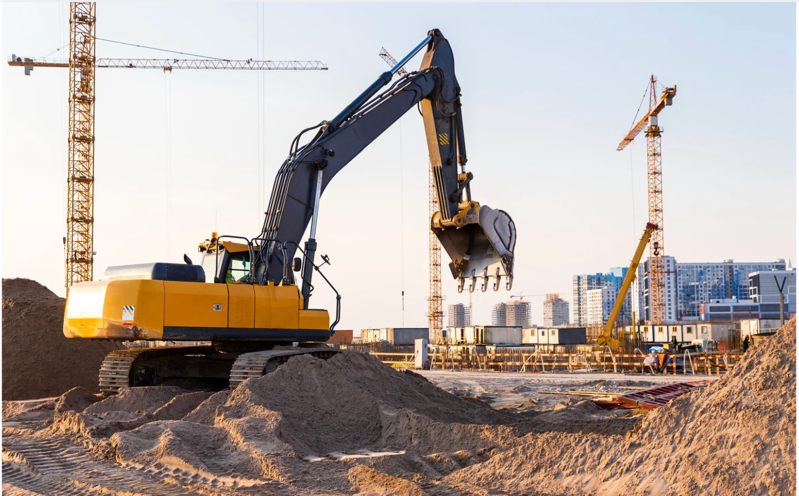
Utilities and conflicts reconstructed before excavation and foundations.
Potential UXO-related anomalies identified before work begins.
Management of the BCM process where required by the project.
Evidence identified for further investigation before excavation.
Subsurface information for planning field activities.
Georeferenced maps for design and construction planning.
RELATED SOLUTIONS
03 / Oil & Gas
Subsurface mapping for work along pipelines, facilities and infrastructure corridors.
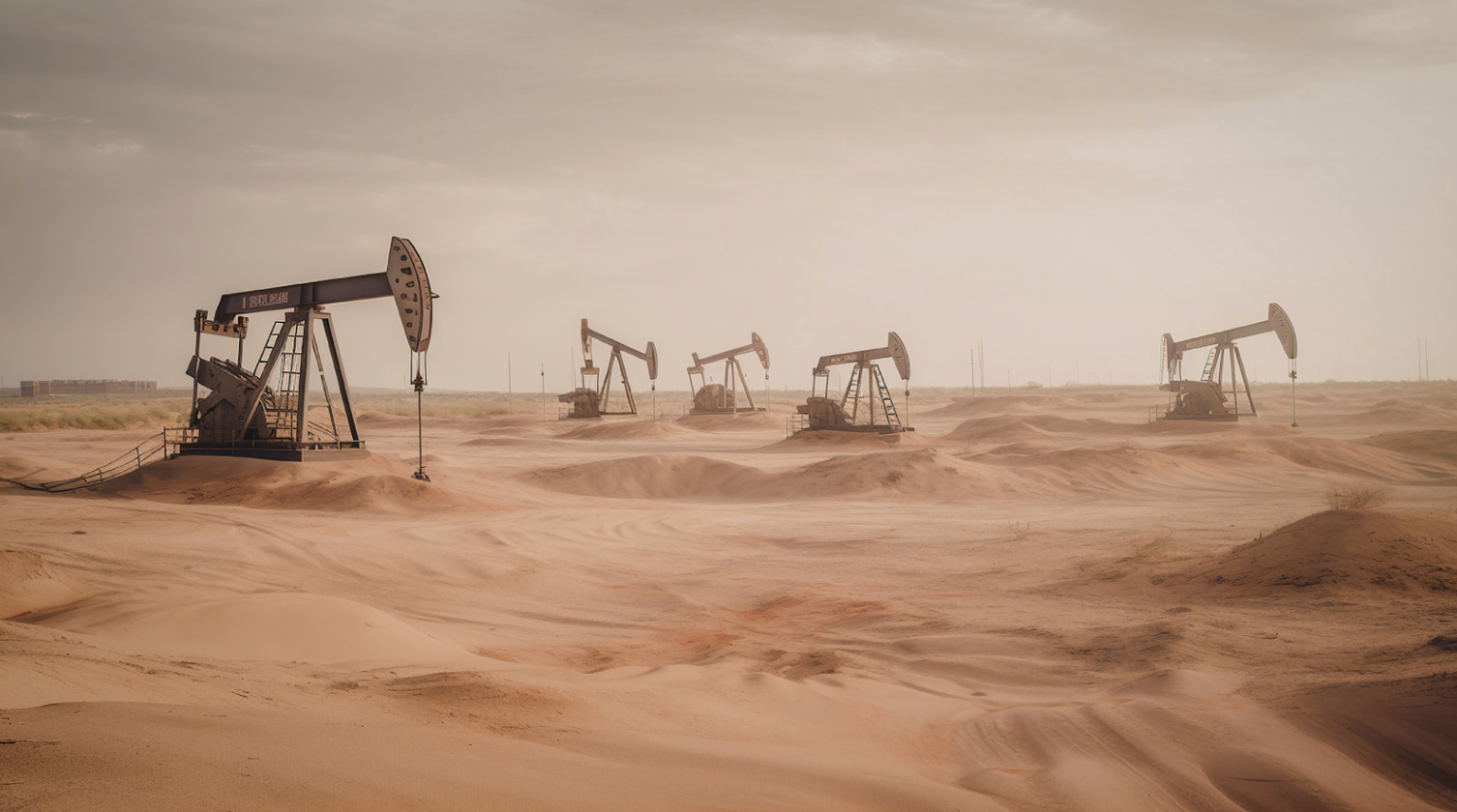
Analysis along existing routes and planned developments.
Utilities and structures located where they may conflict with work.
Subsurface information before new facilities or work.
Work planning near existing infrastructure.
Georeferenced data for enterprise technical and GIS systems.
RELATED SOLUTIONS
04 / Rail
Mapping utilities, conflicts and risks along rail lines, stations and operational sites.

Analysis along routes affected by maintenance or new works.
Mapping in areas with complex networks and infrastructure.
Targeted assessment for crossings, excavation and localised works.
Buried utilities located within railway land and work areas.
Ferromagnetic anomalies identified before work begins.
Archaeological evidence located along new developments.
RELATED SOLUTIONS
05 / Renewable energy
Subsurface analysis for foundations, cable routes and connections at solar and wind developments.
Sites assessed before structures, cable routes and access roads.
Subsurface mapped for foundations, hardstandings and connections.
Utilities and conflicts mapped along connection routes.
Buried infrastructure identified before design and excavation.
Potential UXO-related anomalies located across large sites.
Archaeological evidence identified before work begins.
RELATED SOLUTIONS
07 / ONE PLATFORM
DeepGeo.AI interprets acquired data and delivers georeferenced outputs for technical workflows.
08 / PROJECTS
Validated metrics and results remain associated with their individual case studies.
Utilities & Grid · SaaS
Client-uploaded data processed in the cloud for underground utility mapping.
EPC & Infrastructure
Non-invasive surveys and GIS deliverables to locate undocumented buried infrastructure.
UXO
Non-invasive investigation and anomaly maps for a renewable energy development site.
09 / INDUSTRIES
Tell us about your site, planned works and the decisions you need to support. We’ll identify the information required and the relevant Xplora solutions.