Utilities & Grid · SaaS
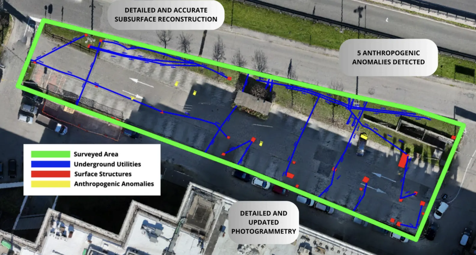
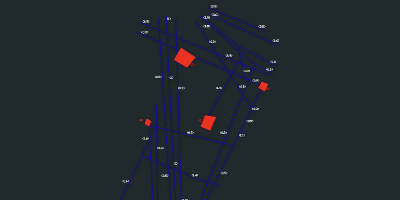
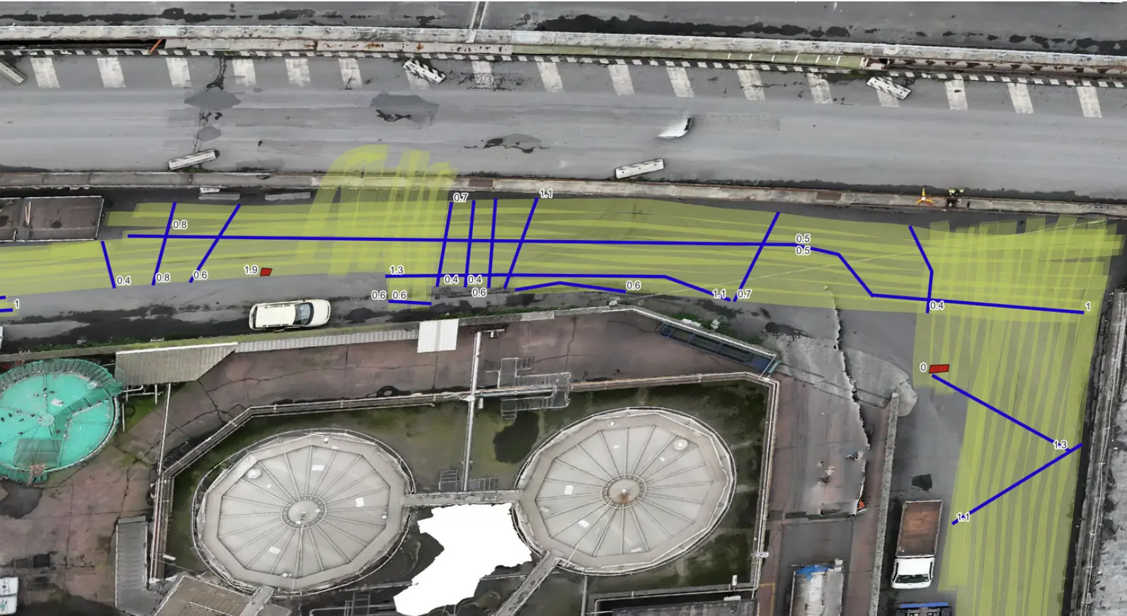
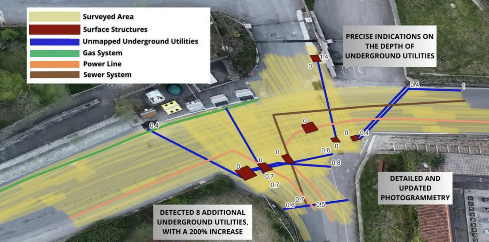
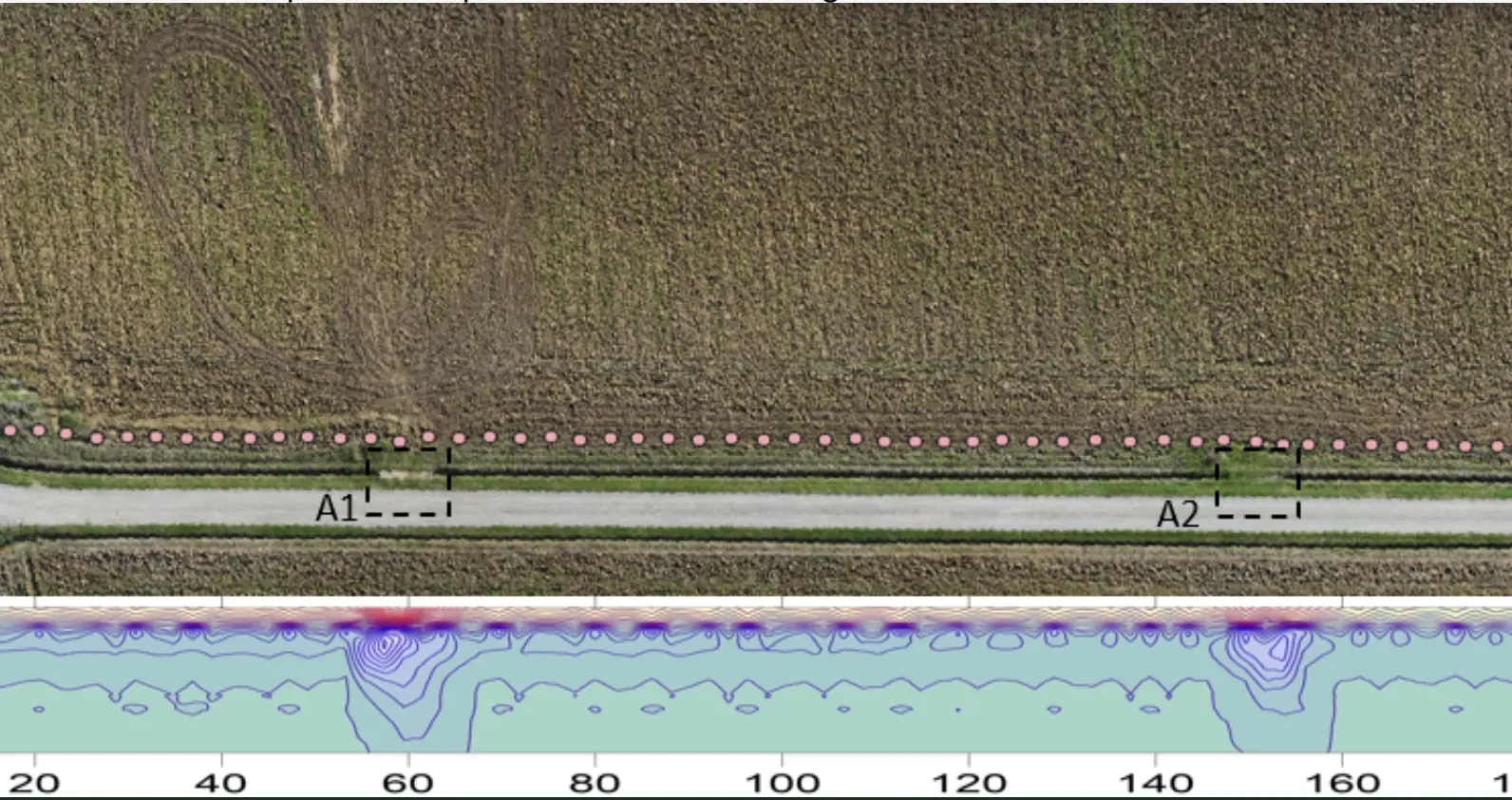
Underground utility mapping in Cisterna di Latina.
Client-uploaded data processed in the cloud for underground utility mapping.
−65%Processing time compared with traditional methods
Explore the case study  Request a quote
Real data. Real projects. Measurable results.
Xplora subsurface intelligence in practice: from underground utility mapping to UXO and archaeological risk assessment for critical infrastructure.
PROOF / FIELD-VALIDATED
20 projects
Utilities & Grid · SaaS
Client-uploaded data processed in the cloud for underground utility mapping.
UXO
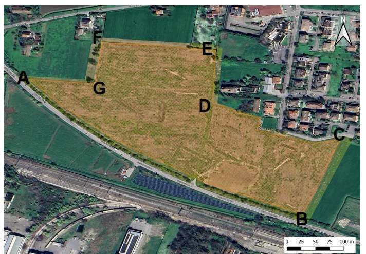
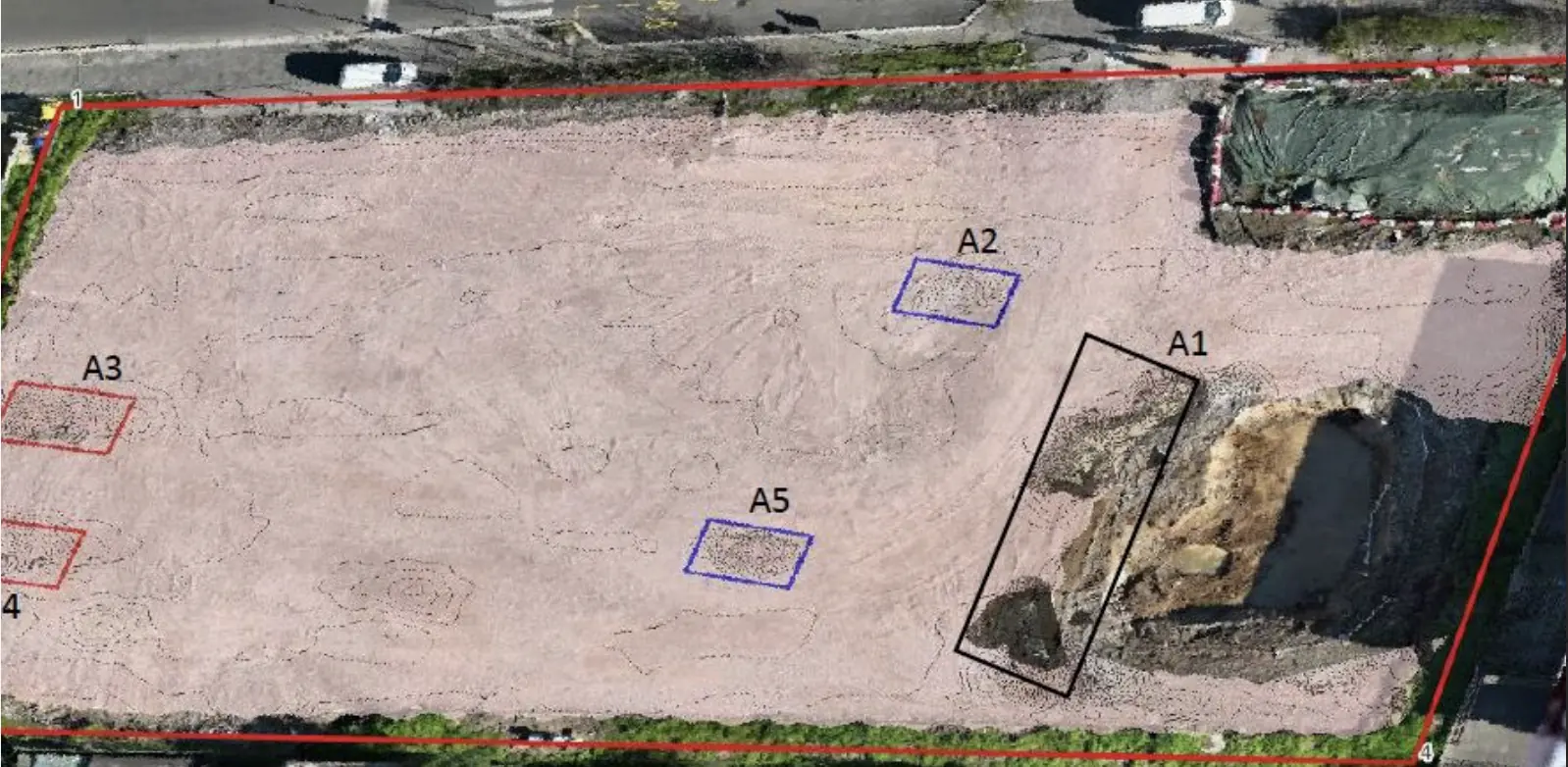
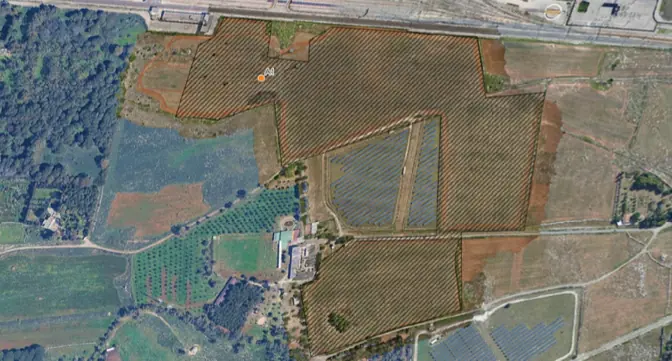
Non-invasive investigation and anomaly maps for a renewable energy development site.
EPC & Infrastructure
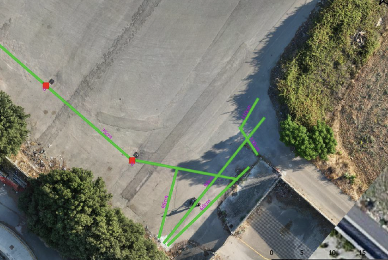
Non-invasive surveys and GIS deliverables to locate undocumented buried infrastructure.
Utilities & Grid
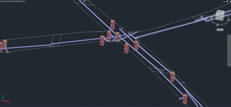
Underground utility mapping supported the layout of high-power charging cables at the Vulcano Shopping Center in Nola.
Utilities & Grid
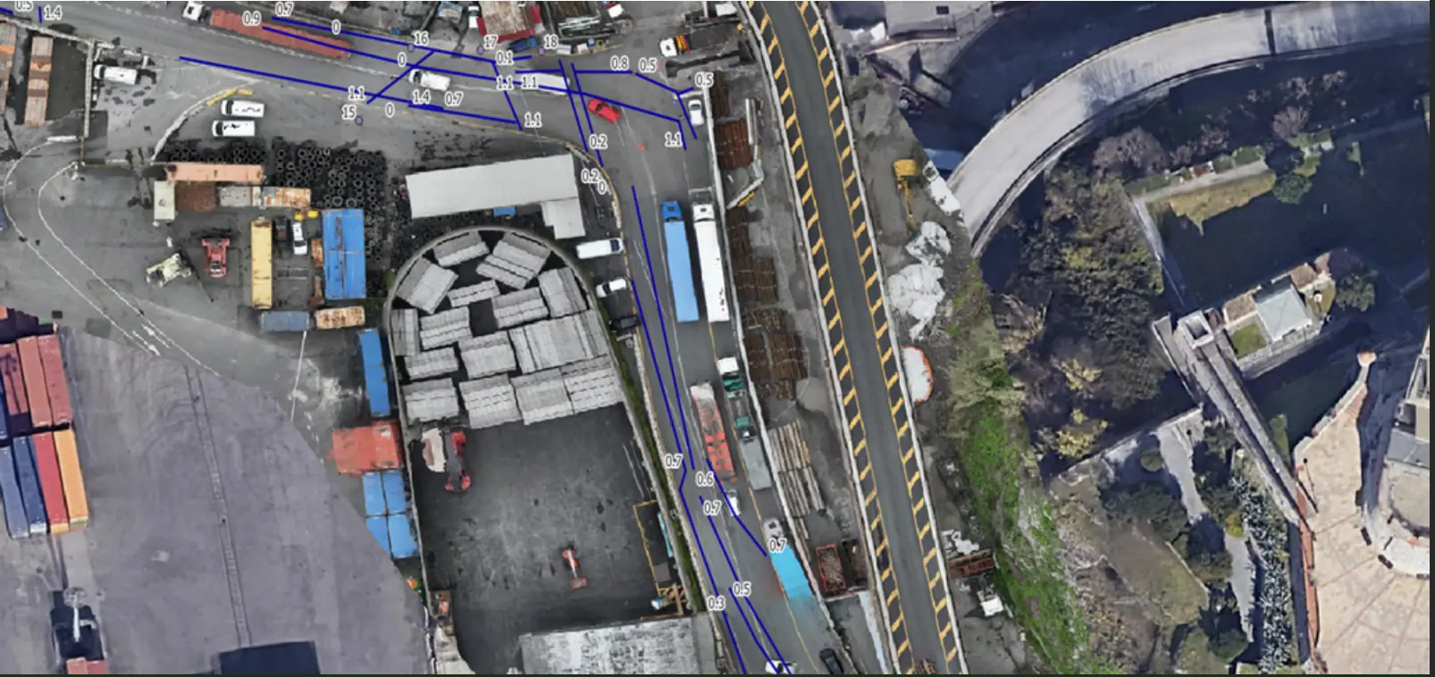
Mapping linear utilities and buried structures in a densely developed area of Genoa.
Utilities & Grid
Detection of underground utilities and sewer networks in a densely built urban environment.
Utilities & Grid
Subsurface characterization and GIS deliverables supported the design of a new utility line.
UXO
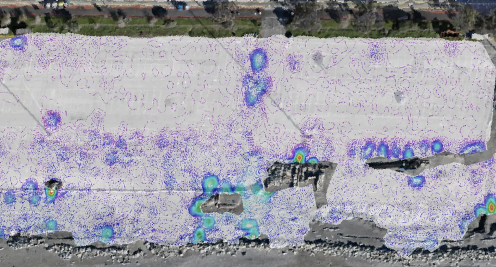
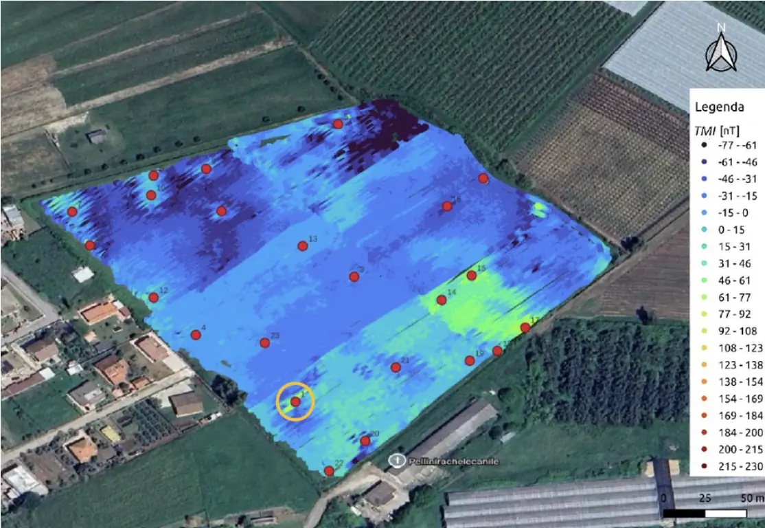
A non-invasive survey characterized anomalies of potential military origin in a densely urbanized setting.
Oil & Gas / Environmental
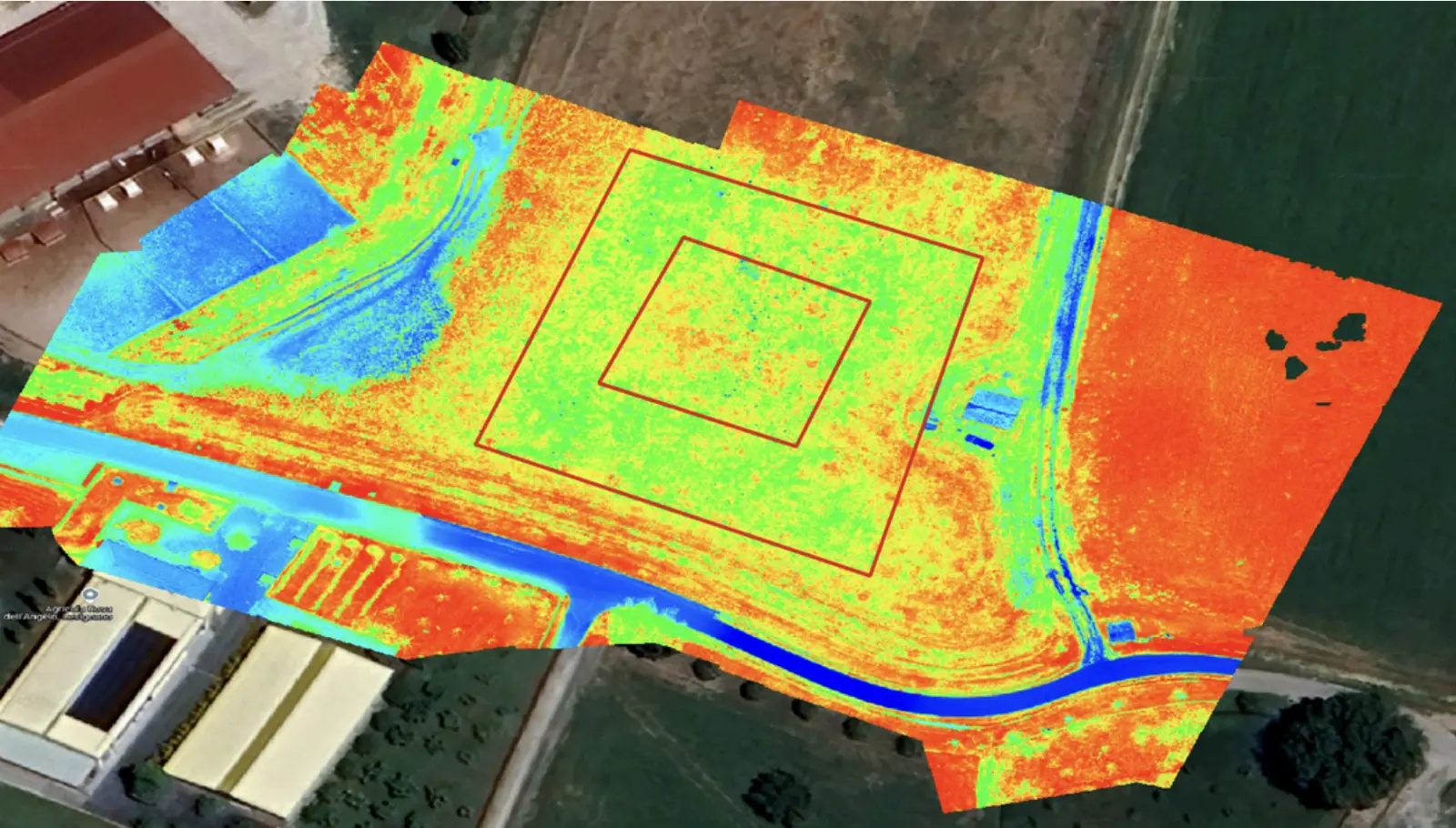
Electromagnetic, multispectral and AI-supported methods produced preliminary subsurface characterization for environmental analysis.
Archaeology
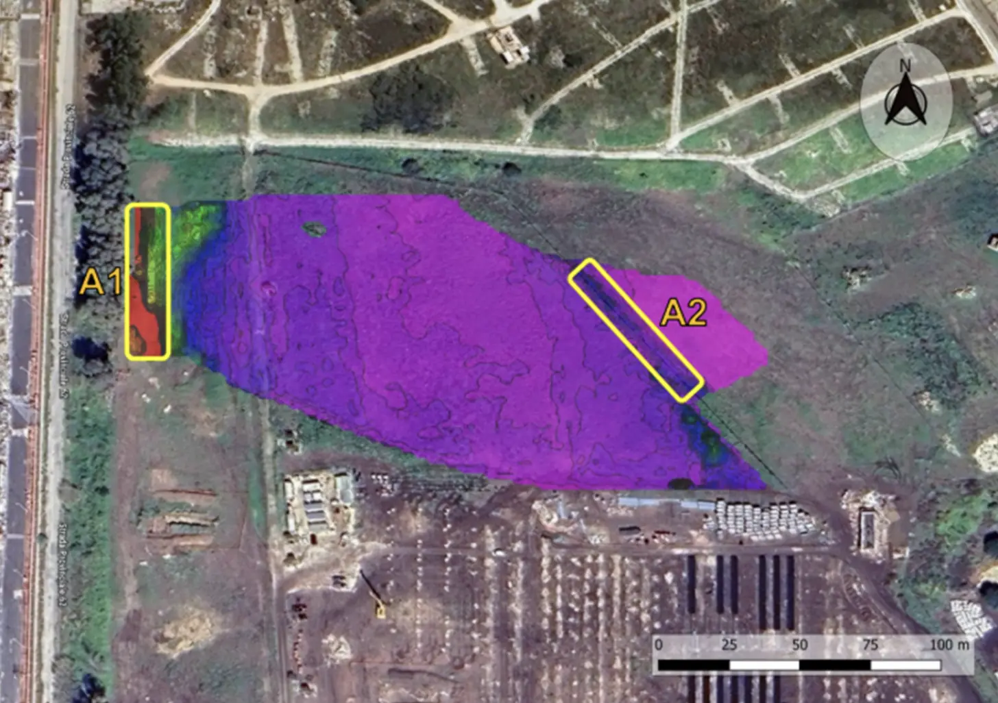
Drone, multispectral and GPR surveying covered 15 hectares before excavation.
UXO
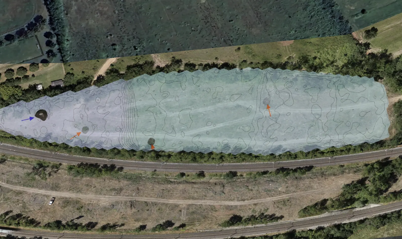
A non-invasive drone survey addressed interference near railway infrastructure and dense vegetation.
Utilities & Grid
Three-dimensional utility mapping supported the installation of new services while limiting disruption to traffic.
EPC & Infrastructure
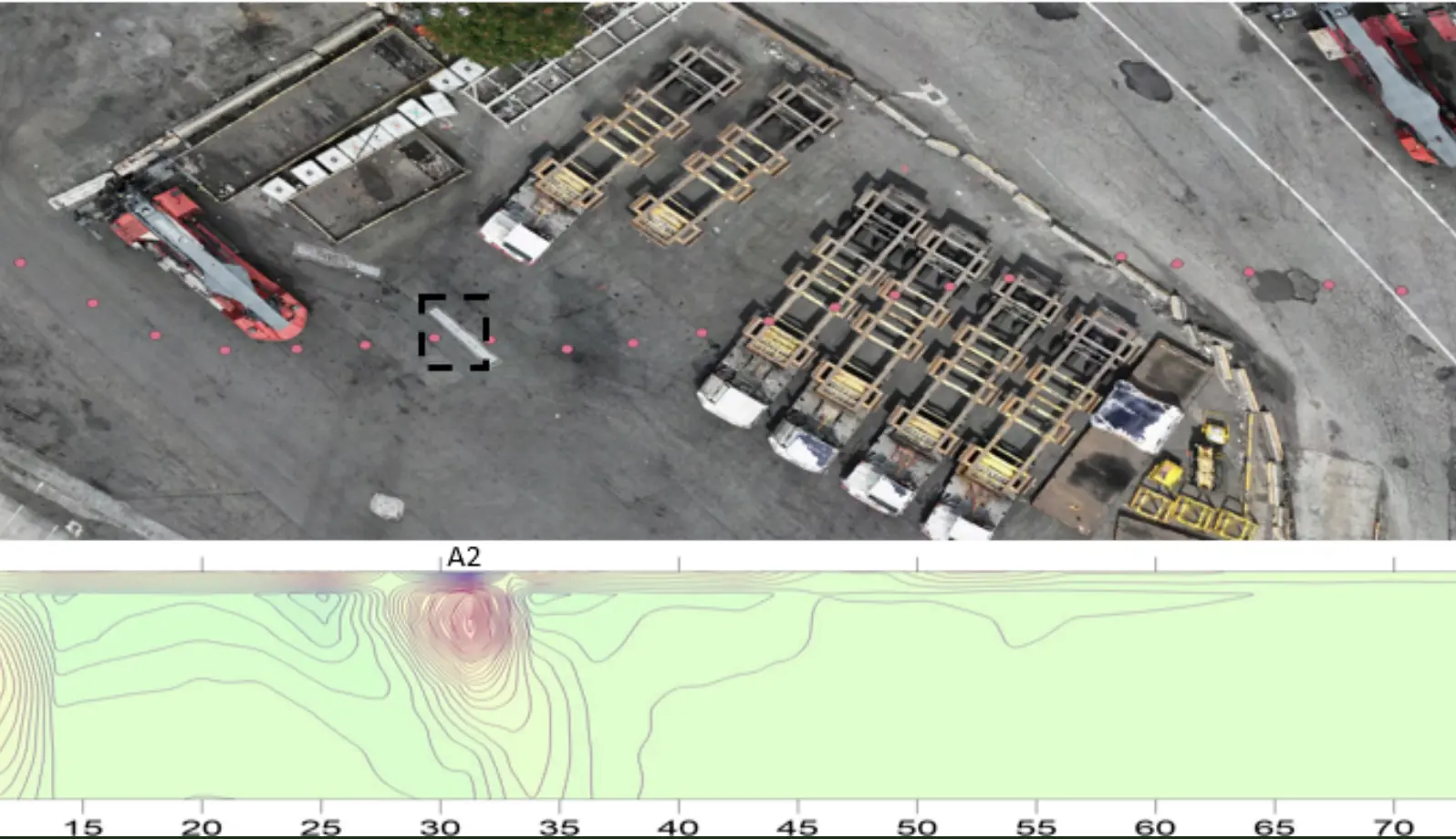
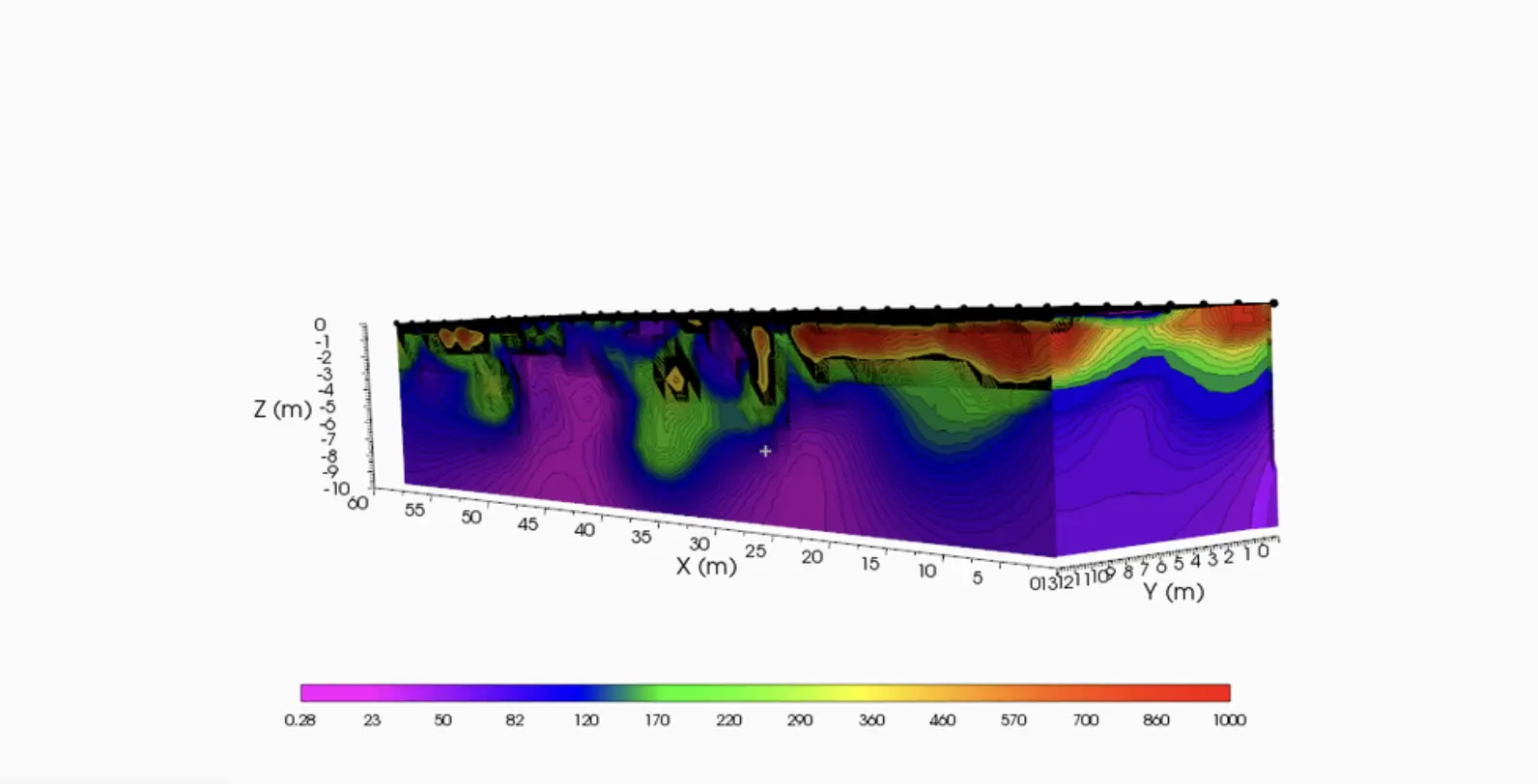
A non-invasive geophysical survey supported ground assessment for the installation of a heavy crane.
UXO
A non-invasive survey in Collecchio distinguished relevant anomalies from spurious signals before pipeline installation.
Oil & Gas / Environmental
Non-invasive mapping of hydrocarbon and pollutant concentrations supported preliminary subsurface characterization.
UXO
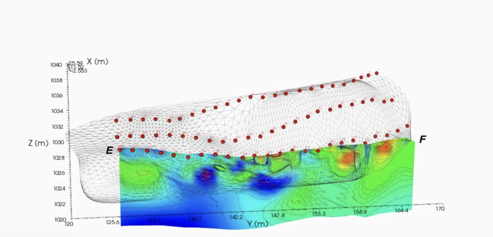
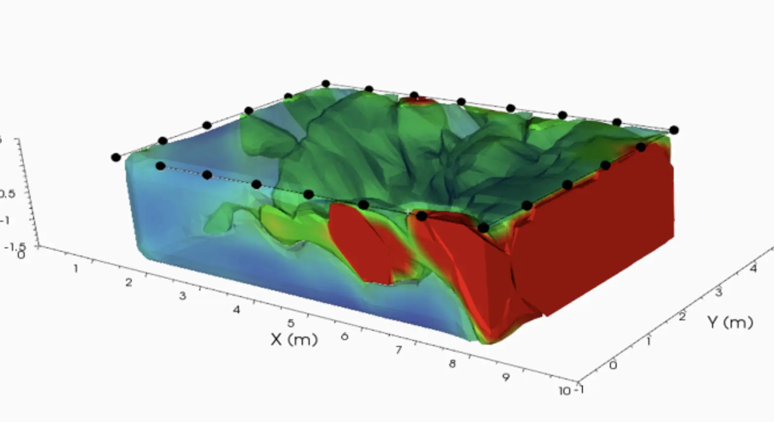
A drone survey produced a three-dimensional representation of anomalies with potential military relevance.
UXO
A night survey covered 19 crossings along a 20 km railway route.
UXO
A non-invasive multisensor survey mapped anomalies across a 150,000 m² infrastructure site.
UXO
A multisensor survey covered 60,000 m² planned for a renewable energy development.
Archaeology
A multisensor survey covered 23,000 m² and reduced the required archaeological test trenches from 20 to 5.
No projects in this field.
YOUR NEXT PROJECT
Tell us about your project, site or challenge.
Request a quote