UXO
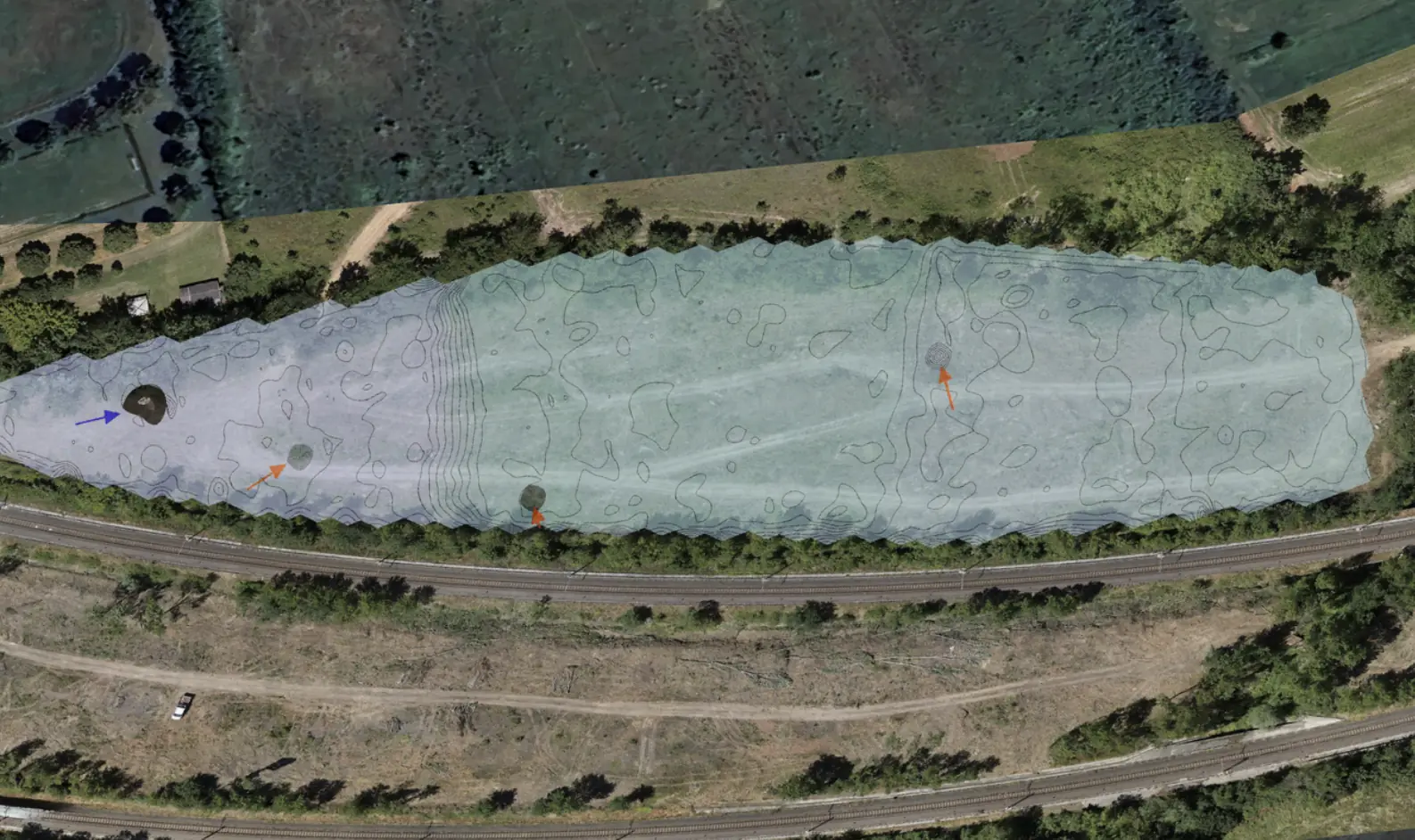
Drone-based UXO survey in the Arezzo area.
A non-invasive drone survey addressed interference near railway infrastructure and dense vegetation.
12 mDeclared survey depth
Explore the case study  Request a quote
UXO / EPC & Infrastructure
Amplia Infrastructures
THE CONTEXT
Non-invasive instrumental survey with a specialized operator within the first 10 meters below ground level to identify anomalies of a military nature over an area of 8.5 hectares.
THE CHALLENGE
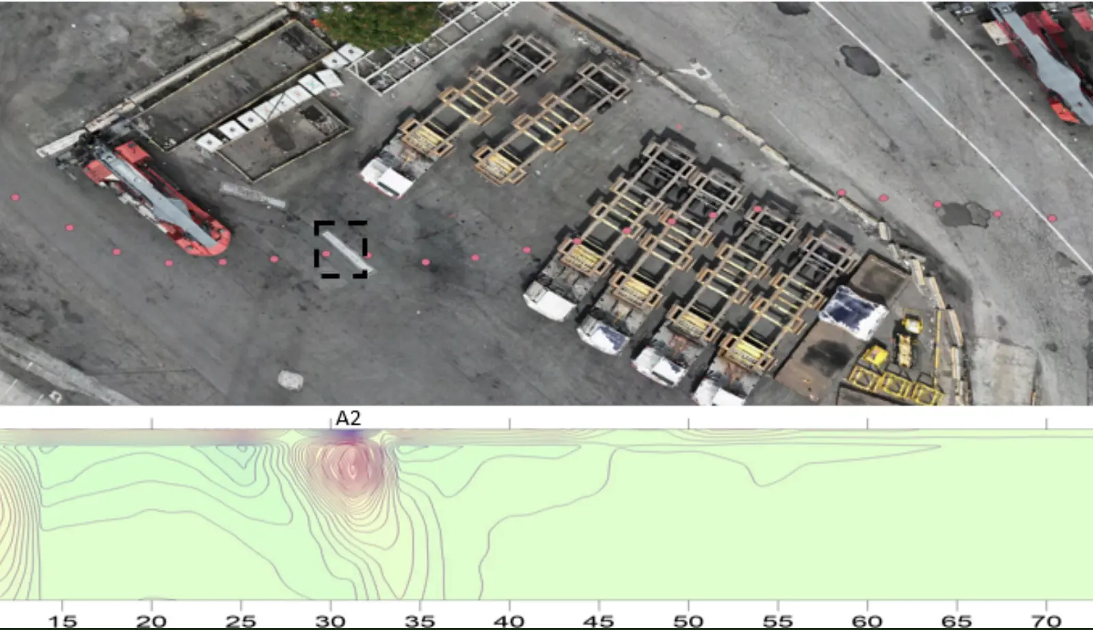
The densely urbanized environment required extremely precise and detailed processing, fully leveraging Xplora’s advanced analytical approach.The terrain conditions, heavily anthropized and characterized by a complex stratigraphy with heterogeneous fills, caused significant interference in the raw signal. Advanced algorithms and neural networks enabled Xplora to deliver reliable results in compliance with the required technical standards.
OUTPUTS
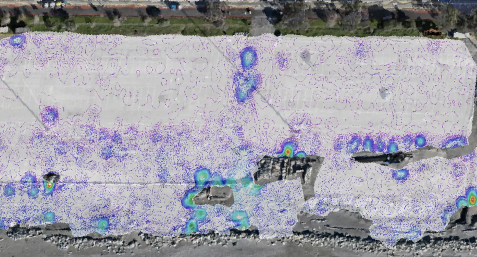
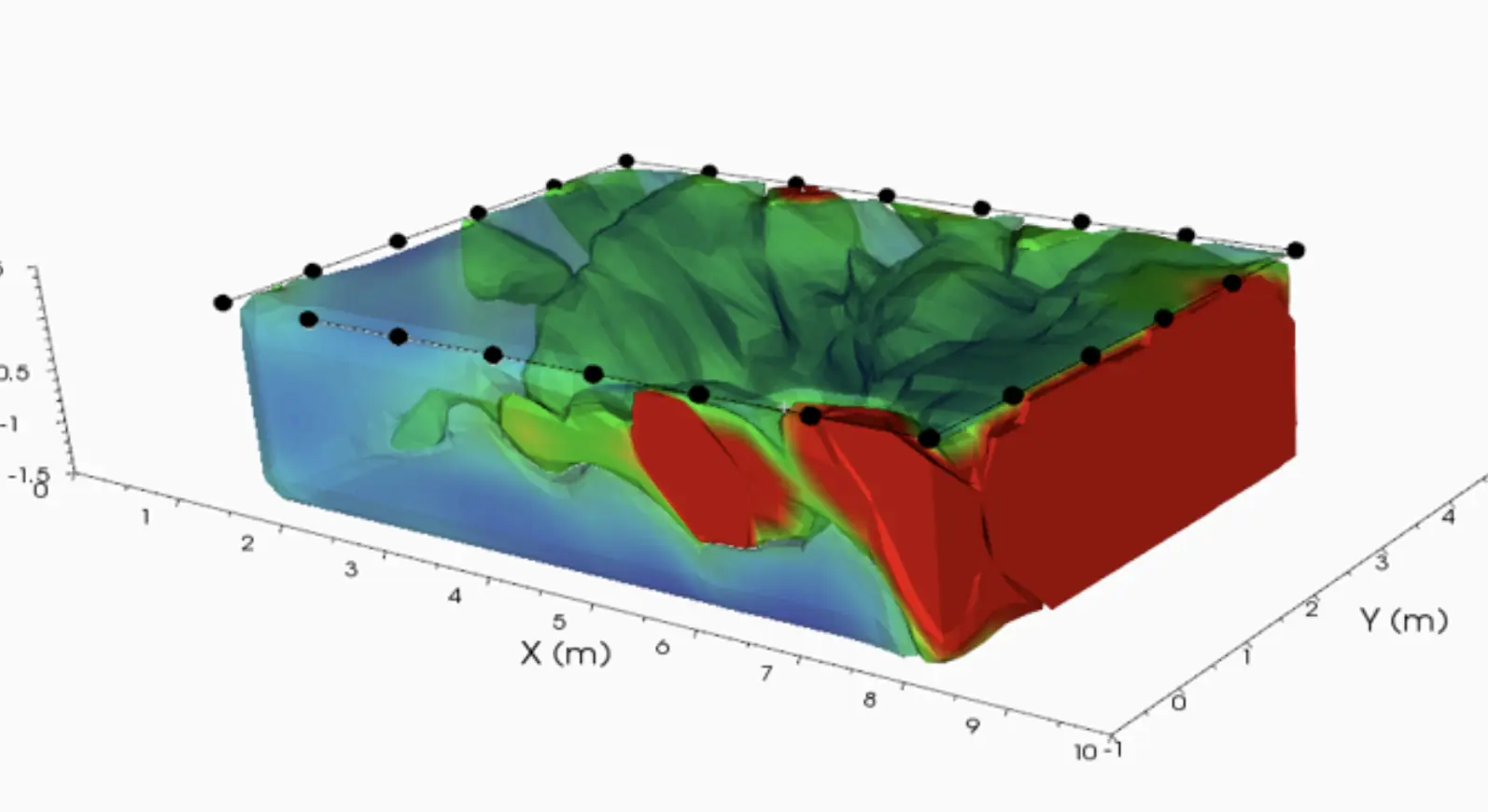
Three-dimensional map with characterization of ferromagnetic anomalies and identification of potential military risk evidence for possible targeted remediation.
Technical report compliant with national regulations.
EXPLORE MORE
UXO
A non-invasive drone survey addressed interference near railway infrastructure and dense vegetation.
UXO
A drone survey produced a three-dimensional representation of anomalies with potential military relevance.
UXO
A night survey covered 19 crossings along a 20 km railway route.
YOUR NEXT PROJECT
Let’s discuss your site, the risk and the outputs you need.
Request a quote