Request a quote

DeepGeo.AI

DeepGeo.AI.
Subsurface
intelligence.

DeepGeo.AI is the cloud platform that turns geophysical surveys into structured, georeferenced information for risk assessment and decision support.

Upload, AI processing, visualisation and export.

02 / DELIVERY MODELS

The same intelligence.
Two ways to work.

Let Xplora manage the survey or integrate DeepGeo.AI into your acquisition workflow.

01 / FULL-SERVICE

From fieldwork to delivery.

Contact Xplora and send the site .KML: we assess the project and manage the full workflow, from site survey to final deliverables.

  1. 01Enquiry and project site

    Required survey type + site .KML file.

  2. 02Proposal and planning

    Xplora assesses the area, scale and operational conditions and prepares a quote.

  3. 03Site assessment and survey

    The Xplora team organises and performs all field activities.

  4. 04Processing and delivery

    DeepGeo.AI processes the data and Xplora delivers the agreed output formats.

Acquisition and intelligence: Xplora.
02 / SOFTWARE AS A SERVICE (SaaS)

Your survey. Our AI.

Acquire data with compatible hardware, upload the dataset to DeepGeo.AI and receive processing, interpretation and outputs. A dedicated Account Manager supports you throughout the process.

  1. 01Enquiry and configuration

    Site, survey type and hardware used.

  2. 02Acquisition with your hardware

    Your team carries out the survey following Xplora’s guidelines.

  3. 03Upload and AI processing

    Upload your dataset and DeepGeo.AI starts processing and interpretation.

  4. 04Outputs + dedicated support

    Receive the agreed formats, with your Account Manager’s support to interpret the results.

From raw data to outputs in hours.

Dedicated Account Manager included

03 / THE AI PROCESS

From Raw Data to
Subsurface IntelligenceSupported Survey Data and Sensors

From site to raw data and georeferenced reconstruction, each stage prepares the next.

One site. Six representations.

04 / RELIABILITY & REPEATABILITY

AI Interpretation &
Sensor Fusion

Standardised procedures reduce reliance on manual interpretation, while data quality remains critical.

Repeatability
Consistent processing criteria for comparing datasets and results.
Objective extraction
Anomalies are identified in the data and structured for review.
Traceability
The workflow from raw data to output allows results to be traced to their source.
Clients across Europe and international markets
Area analysed
Accuracy compared with traditional methods
Analysis and permitting time through automated AI interpretation

05 / OUTPUTS

2D, 3D and
GIS Outputs

01 /

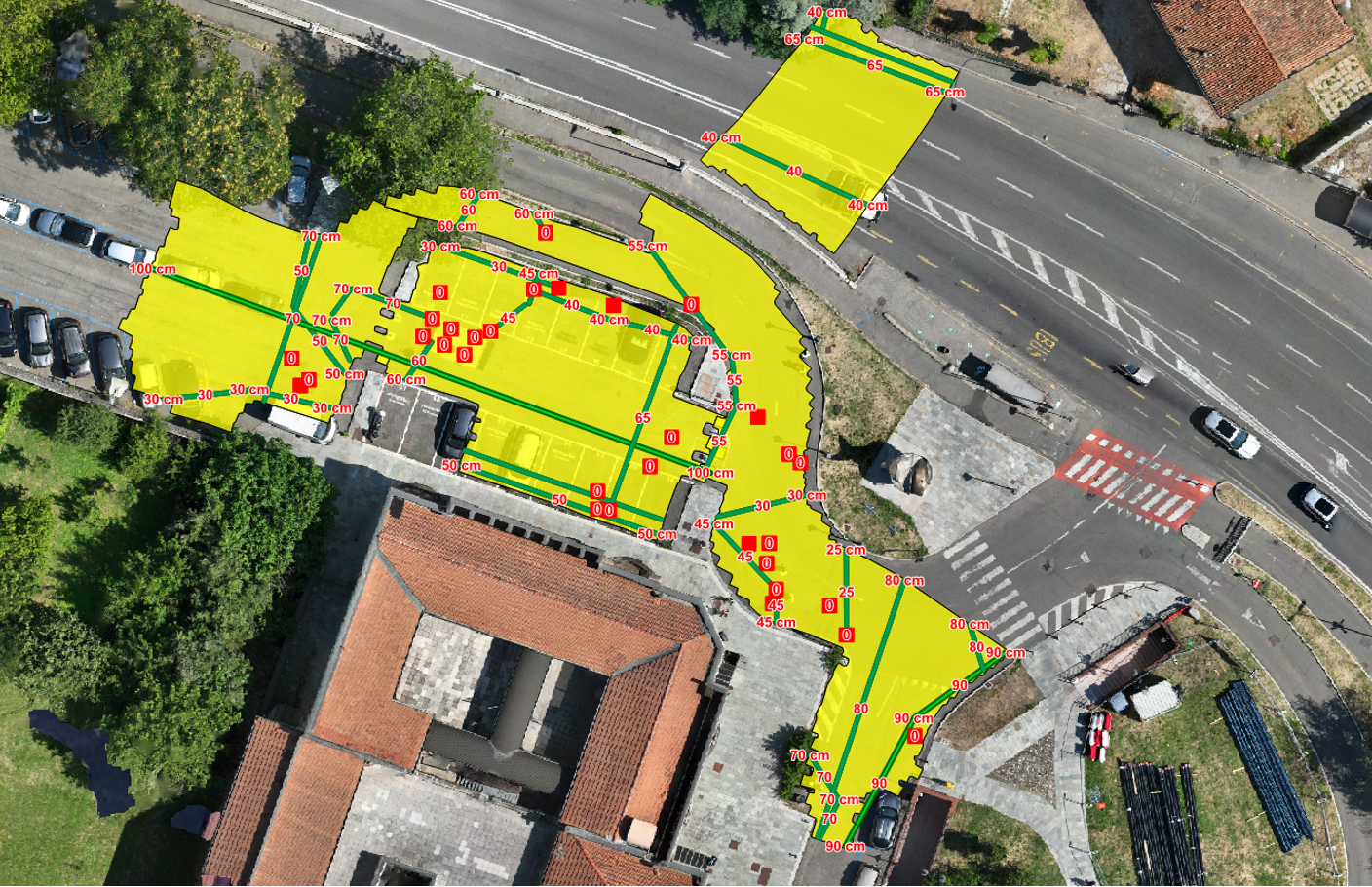
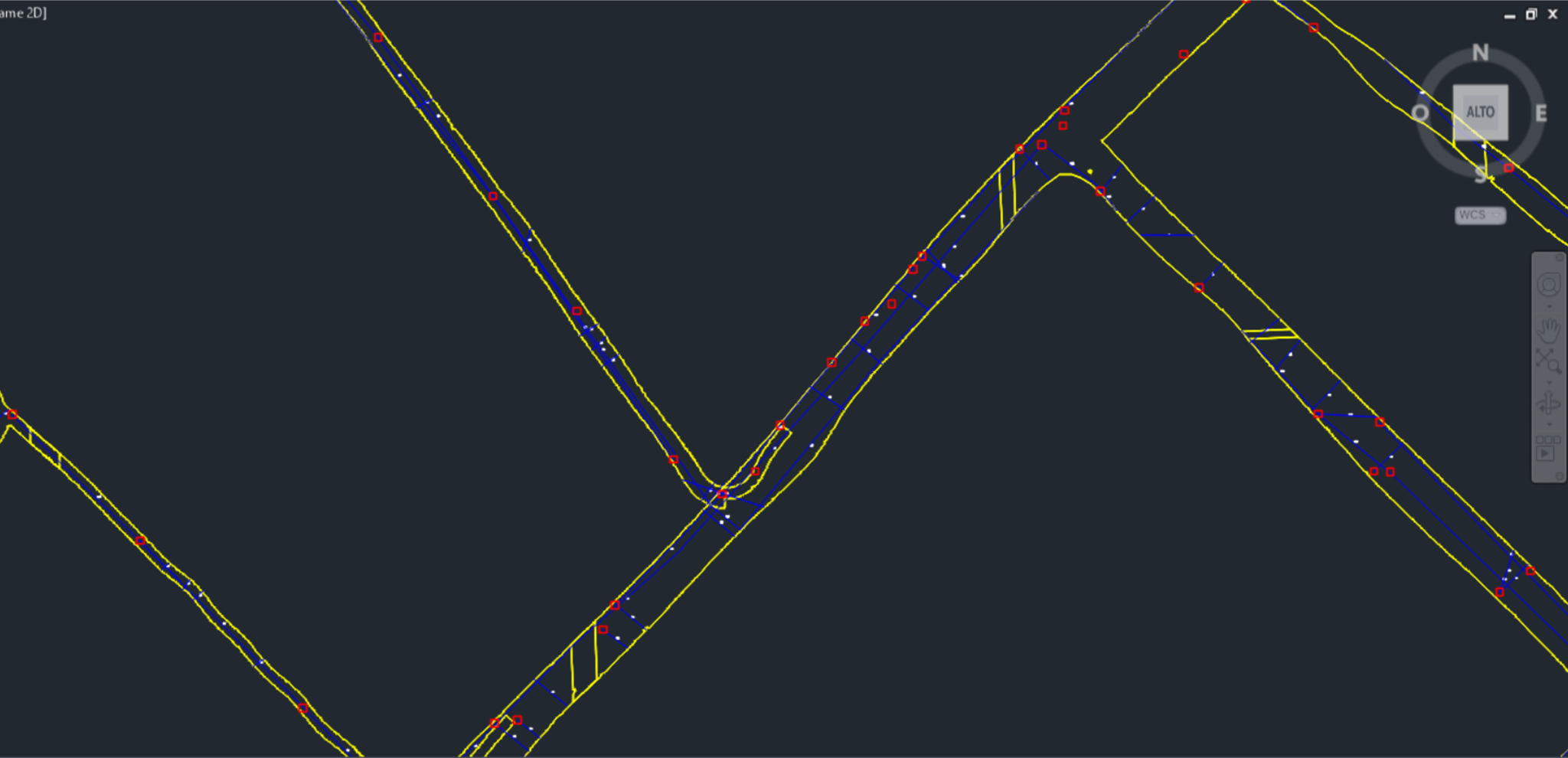
2D survey — Buried utilities

Plan view of networks, depths and relationships.

Georeferenced 2D underground utility map
02 /

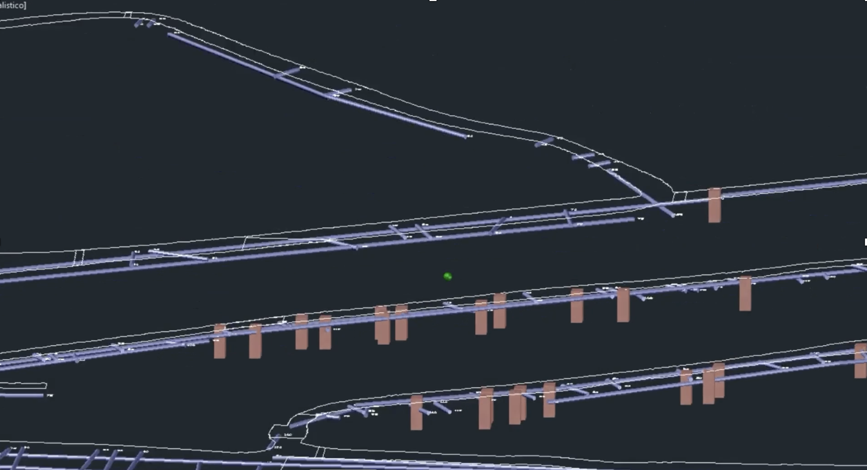
3D survey — Buried utilities

3D reconstruction of subsurface geometry, depth and relationships.

3D reconstruction of buried utility networks showing depth and geometry
03 /

GIS — Buried utilities

Georeferenced outputs for GIS and technical workflows.

GIS output from an underground utility survey
04 /

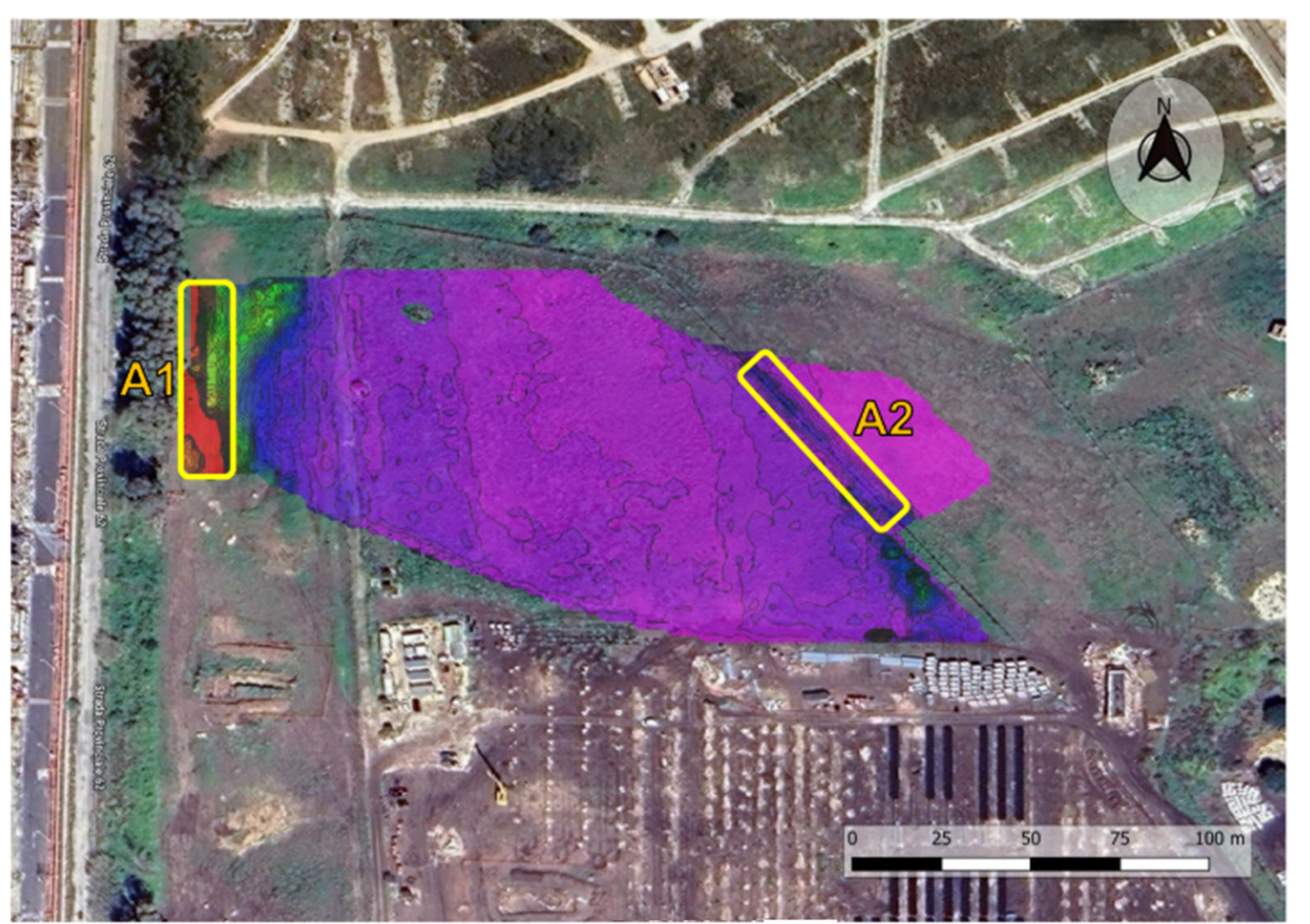
Archaeological assessment

Buried structures and anomalies consistent with archaeology.

Magnetometry results from an archaeological geophysical survey
05 /

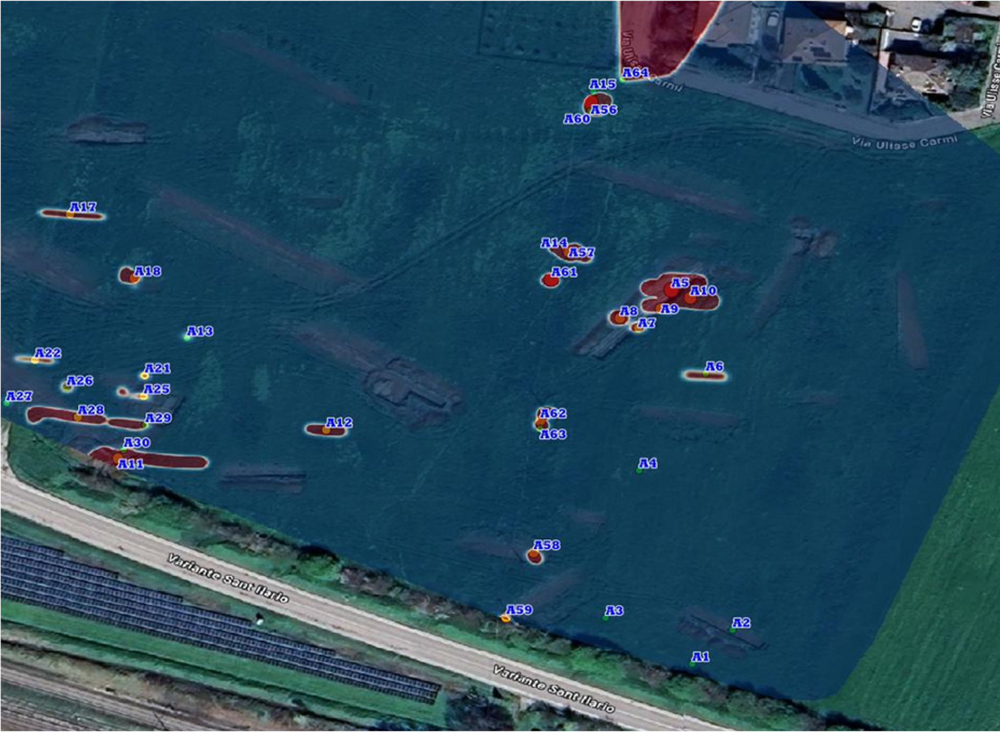
UXO risk assessment

Classified, georeferenced anomalies for UXO risk.

Geophysical anomaly map for UXO investigation
06 /

Underwater UXO risk assessment

Georeferenced underwater anomalies for UXO risk assessment.

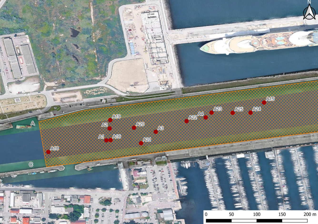
Geophysical anomaly map for an underwater UXO investigation

06 / INDUSTRIES

DeepGeo.AI
in the Field

01

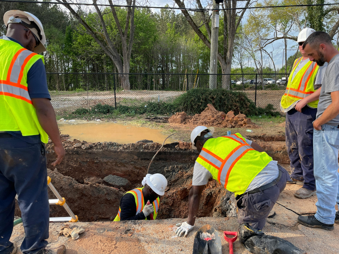
Buried networks & utilities

Maps network position and depth before field work.

Gas · Water · Electricity · Telecommunications

Explore the industry
Team working in an underground utility excavation
02

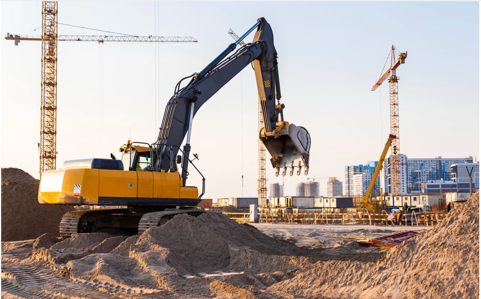
EPC & Infrastructure

Reduces clashes and design changes before construction.

Design · Construction · Major works · Roads · Bridges · Tunnels

Explore the industry
Excavator and crane on an infrastructure construction site
03

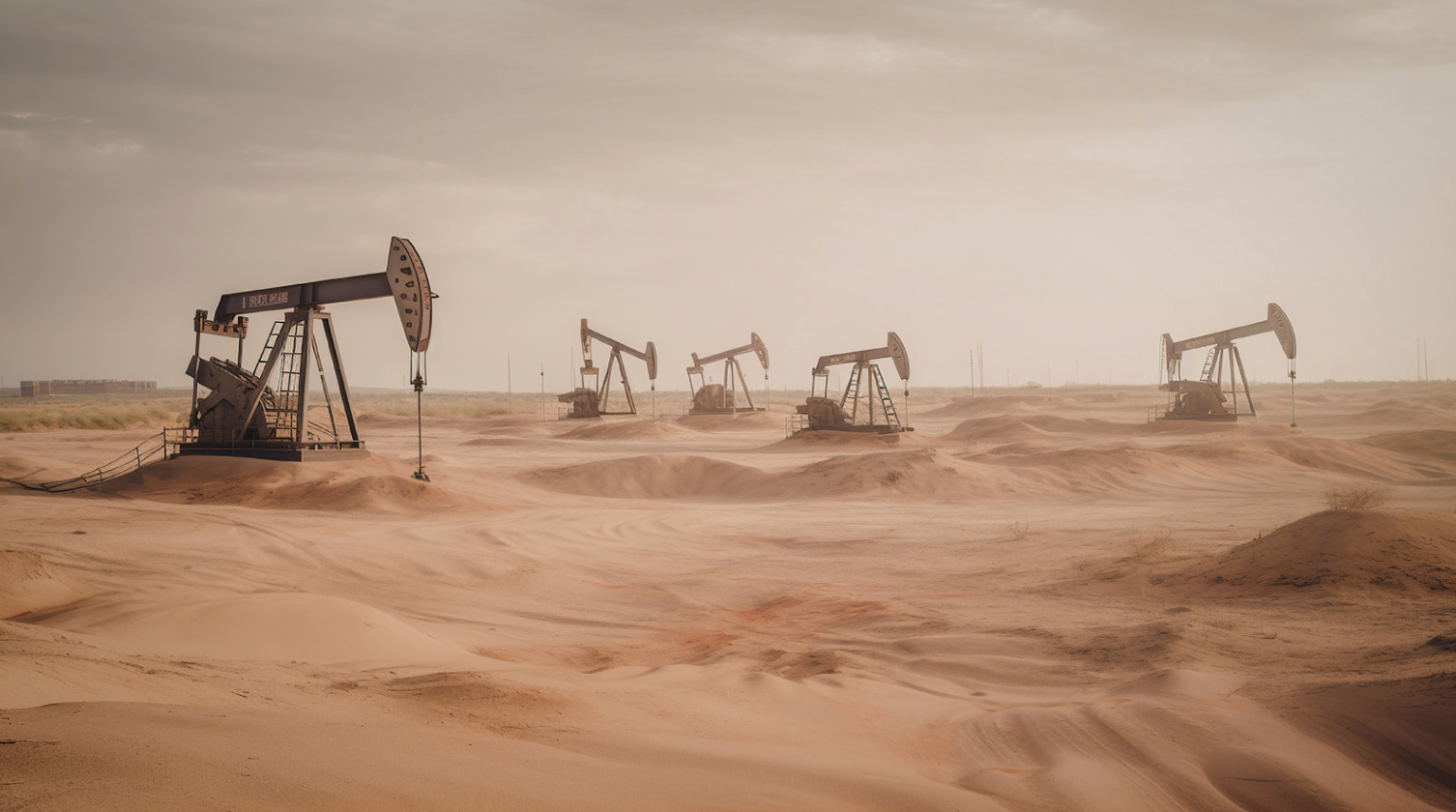
Oil & Gas

Supports asset integrity and site risk assessment.

Pipelines · Asset integrity · Site assessment · Facilities

Explore the industry
Oil extraction facilities
05

Renewable energy

Reduces risk before energy infrastructure installation.

Solar · Wind · Geothermal

Explore the industry
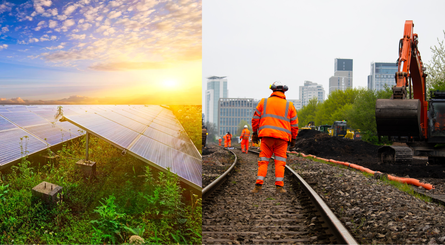
Solar farm and railway works

07 / CASE STUDY

Utility Mapping
at Scale

The client retains its GPR hardware and workflow; DeepGeo.AI processes datasets through SaaS and delivers 3D, CAD and GIS outputs.

Italgas / DeepGeo.AI SaaS

DeepGeo.AI is an enterprise solution used by major Italian multi-utilities, distribution and transmission system operators.

LET’S DISCUSS YOUR PROJECT

Request a demo
with DeepGeo.AI.

Let’s discuss your data, acquisition workflow and required outputs.

Request a demo

FULL-SERVICE / XPLORA

Request a quote

Tell us about the work and send us the project area. Our team will review your requirements and contact you with a tailored proposal.

* Required fields

Type of service *

You can select more than one service.