Archaeology
Archaeological risk assessment for COEMI / Plenitude.
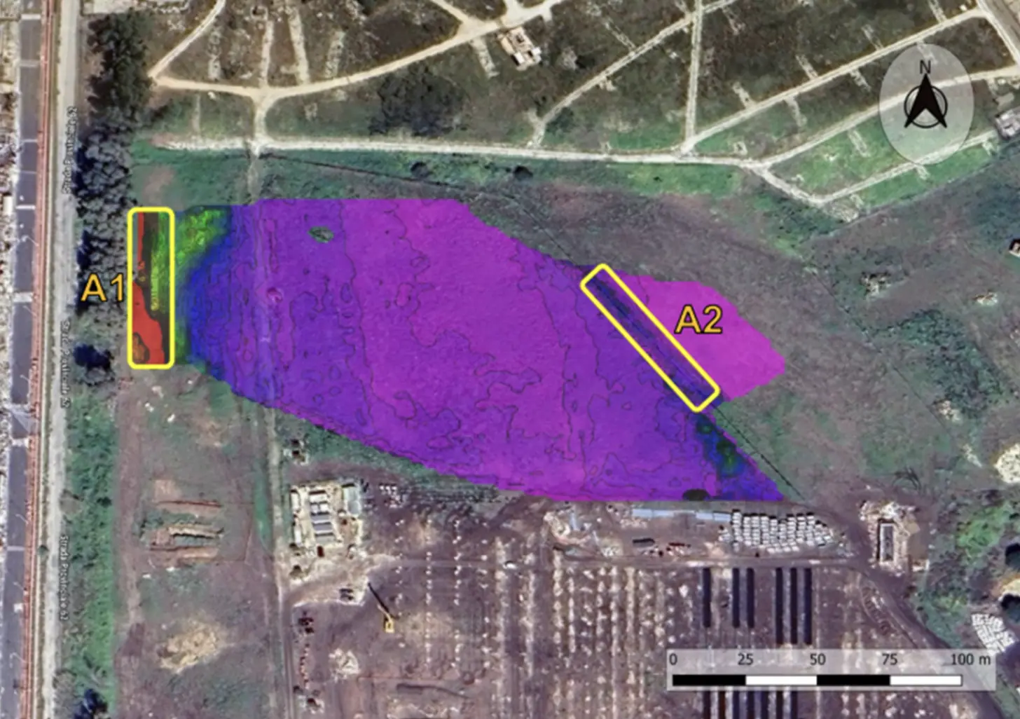
A multisensor survey covered 23,000 m² and reduced the required archaeological test trenches from 20 to 5.
20 → 5Required test trenches
Explore the case study  Request a quote
Understand what lies beneath.
Before excavation.
Non-invasive geophysical surveys and DeepGeo.AI identify potential archaeological evidence before excavation.
They support preventive archaeological interest assessment (VPIA) without replacing required procedures.
02 / THE RISK
Previously unknown evidence can affect excavation and planning.
03 / THE PROCESS
Ground or airborne survey with suitable sensors.
Filtering and interpretation of relevant signals.
Evidence georeferenced within the site context.
Maps and documentation for further investigation.
04 / DEEPGEO.AI
DeepGeo.AI interprets geometry and anomalies, helping identify areas for further investigation.
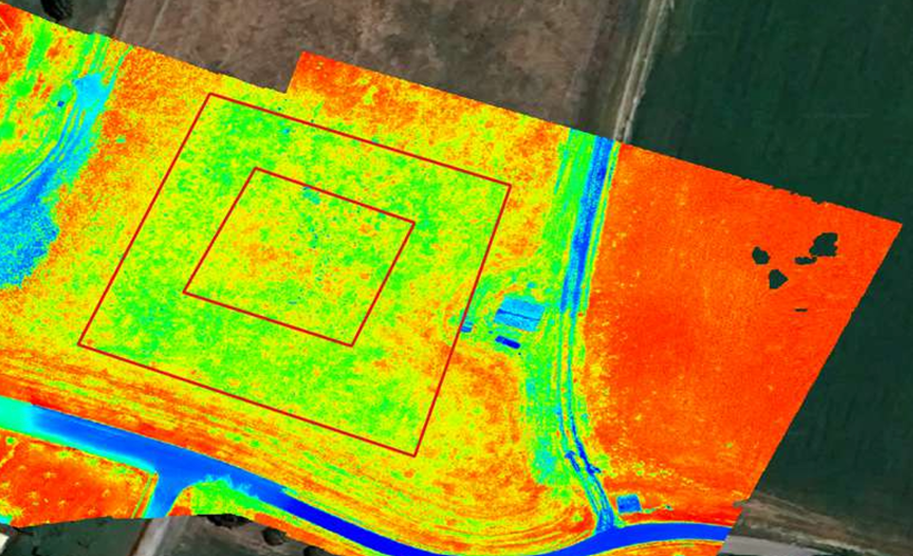
Actual project site; illustrative 3D process reconstruction based on reference geophysical data. Alternative A2–A5 classifications are illustrative examples.
05 / OUTPUT
Location of relevant anomalies and evidence.
Geometry and depth where technically available.
Structured documentation supporting assessment.
06 / OPERATIONAL VALUE
07 / CASE STUDY
Non-invasive multisensor analysis and DeepGeo.AI mapped anomalies across 23,000 m².
The result relates to this project. The Executive Summary documents the case on pages 11–12.
Archaeology
A multisensor survey covered 23,000 m² and reduced the required archaeological test trenches from 20 to 5.
08 / PRE-CONSTRUCTION ARCHAEOLOGY
Share the site and context; we’ll define the survey before excavation.