EPC & Infrastructure
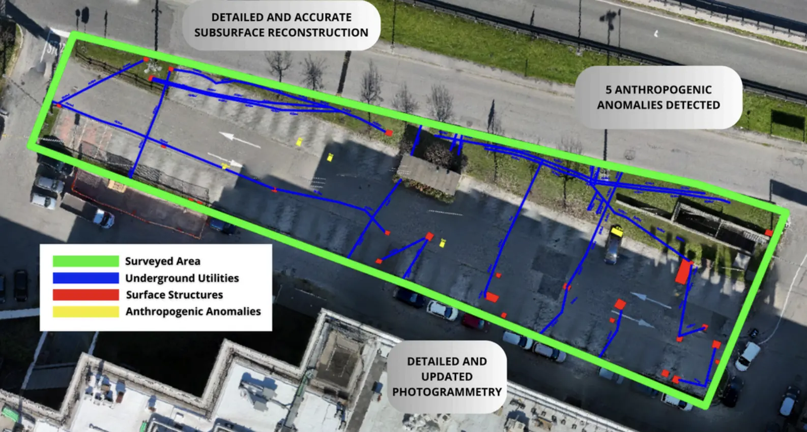
Underground utility mapping for Escolight / RFI.
Non-invasive surveys and GIS deliverables to locate undocumented buried infrastructure.
GIS outputGeoreferenced utility routes
Explore the case study  Request a quote
Archaeology / EPC & Infrastructure
Archeovea
THE CONTEXT
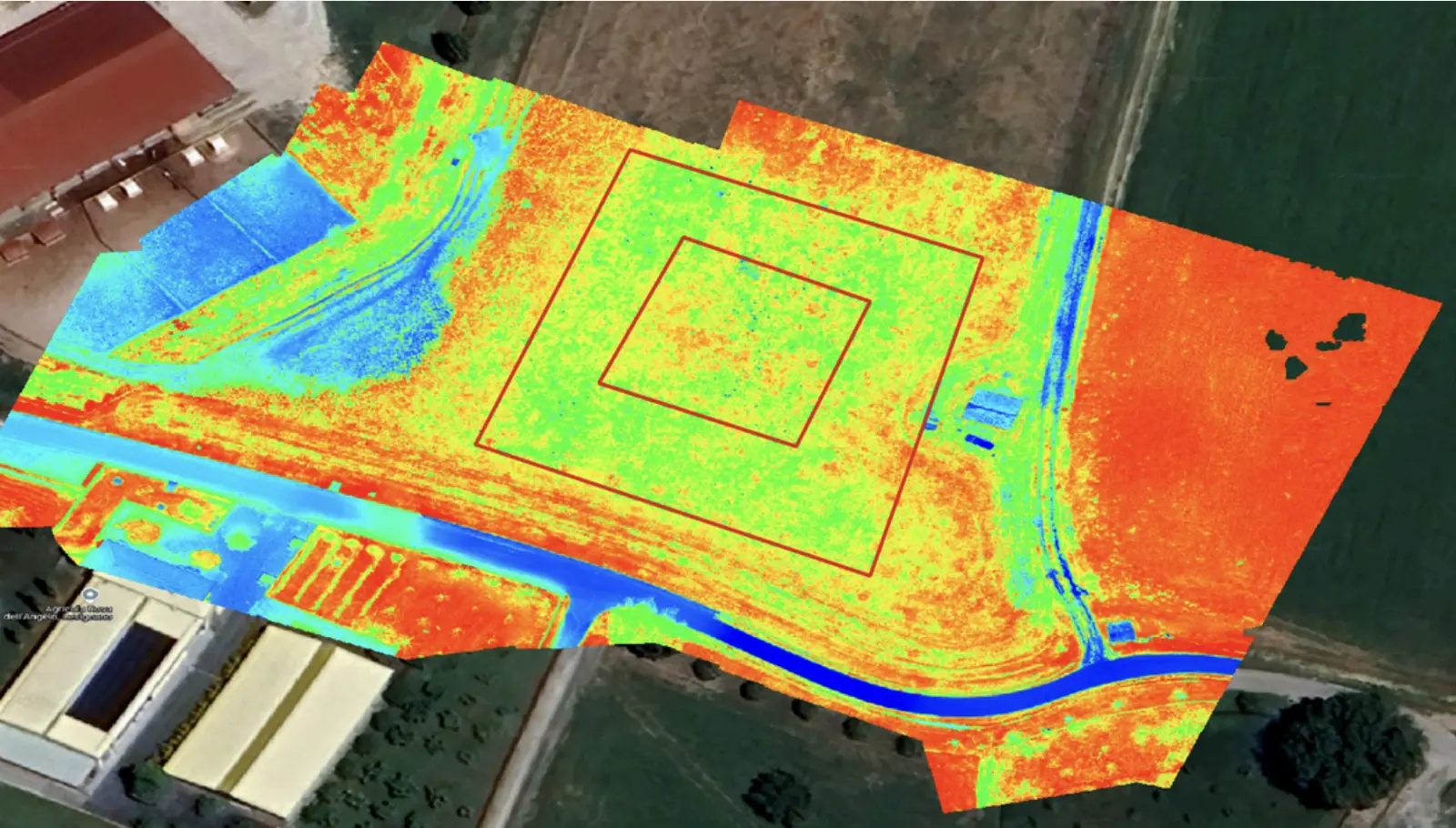
Survey conducted using a drone equipped with a multispectral sensor and GPR radar over a 15-hectare area, aimed at detecting the potential presence of archaeological artifacts or structures prior to excavation activities for construction projects.
THE CHALLENGE
The use of non-invasive methodologies enabled the identification of archaeological artifacts, ensuring the preservation and enhancement of cultural heritage.
OUTPUTS
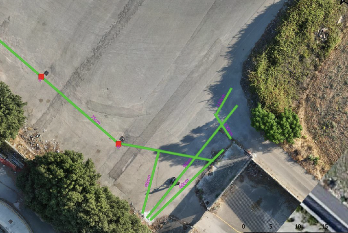
-GIS project with updated photogrammetry and layouts of buried structures, including characterization and depth indication;-Validated technical report;-VIPIA/VIARCH.
Archaeological impact assessment report, approved by the heritage authority.
EXPLORE MORE
EPC & Infrastructure
Non-invasive surveys and GIS deliverables to locate undocumented buried infrastructure.
Utilities & Grid
Underground utility mapping supported the layout of high-power charging cables at the Vulcano Shopping Center in Nola.
Utilities & Grid
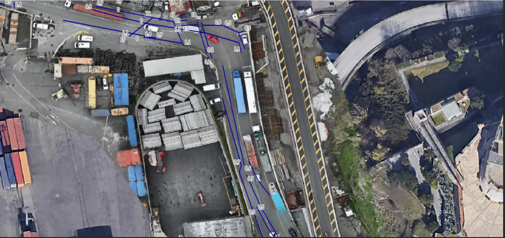
Mapping linear utilities and buried structures in a densely developed area of Genoa.
YOUR NEXT PROJECT
Let’s discuss your site, the risk and the outputs you need.
Request a quote