Utilities & Grid · SaaS
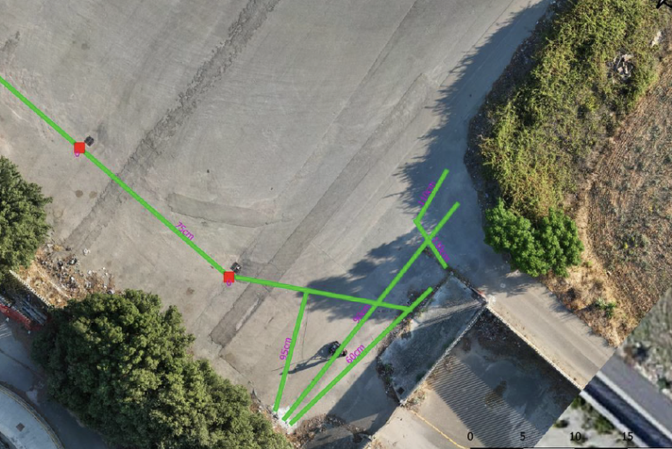
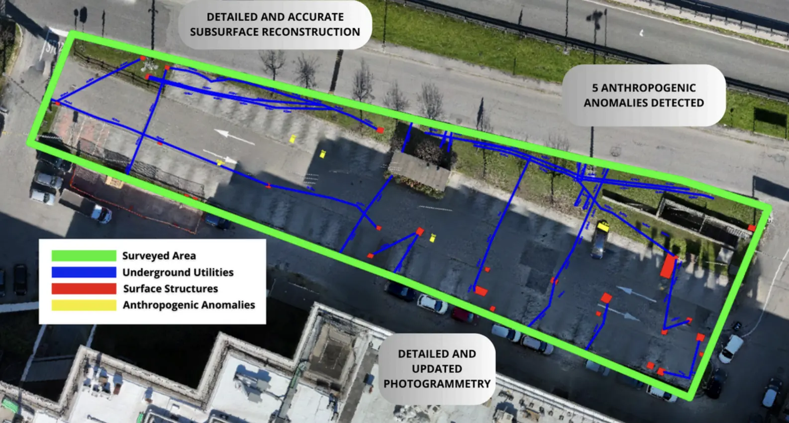
Underground utility mapping in Cisterna di Latina.
Client-uploaded data processed in the cloud for underground utility mapping.
−65%Processing time compared with traditional methods
Explore the case study  Request a quote
Utilities & Grid
Heratech
THE CONTEXT
Subsurface utility mapping for the detection of underground infrastructure and sewer networks to a depth of up to 7 meters below ground level.
THE CHALLENGE
The densely built environment and subsurface conditions required detailed processing to accurately locate buried infrastructure.
OUTPUTS
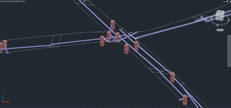
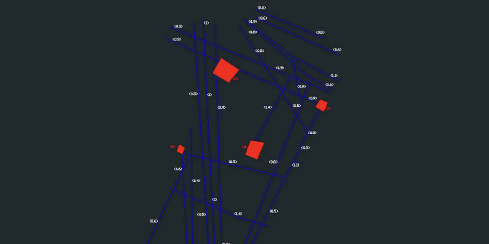
GIS project with 3D geometry of the underground utility layout down to a depth of 7 meters.
dwg file for CAD processing.
EXPLORE MORE
Utilities & Grid · SaaS
Client-uploaded data processed in the cloud for underground utility mapping.
EPC & Infrastructure
Non-invasive surveys and GIS deliverables to locate undocumented buried infrastructure.
Utilities & Grid
Underground utility mapping supported the layout of high-power charging cables at the Vulcano Shopping Center in Nola.
YOUR NEXT PROJECT
Let’s discuss your site, the risk and the outputs you need.
Request a quote