EPC & Infrastructure
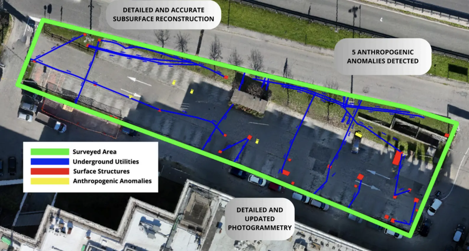
Underground utility mapping for Escolight / RFI.
Non-invasive surveys and GIS deliverables to locate undocumented buried infrastructure.
GIS outputGeoreferenced utility routes
Explore the case study  Request a quote
Utilities & Grid / EPC & Infrastructure
Facchetti Costruzioni
THE CONTEXT
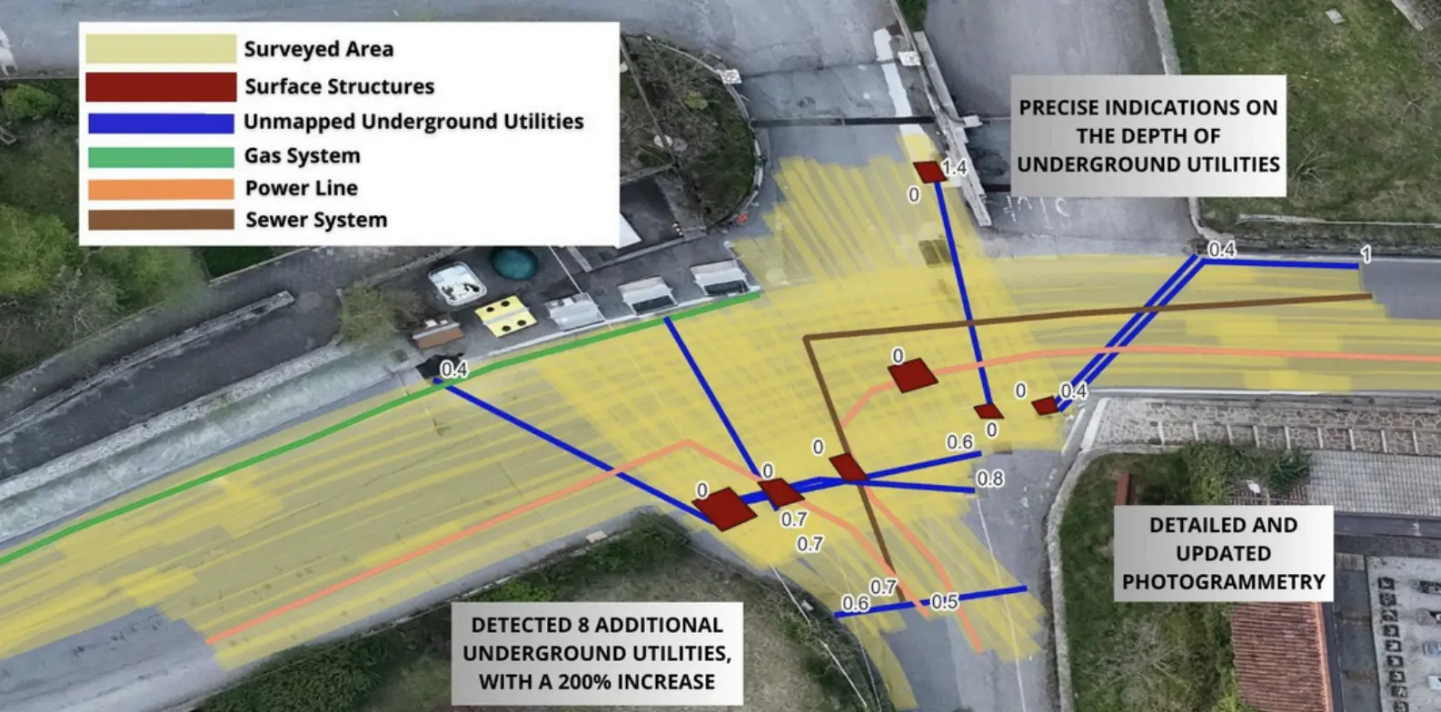
Underground utility mapping supported the planned installation of new services.
THE CHALLENGE
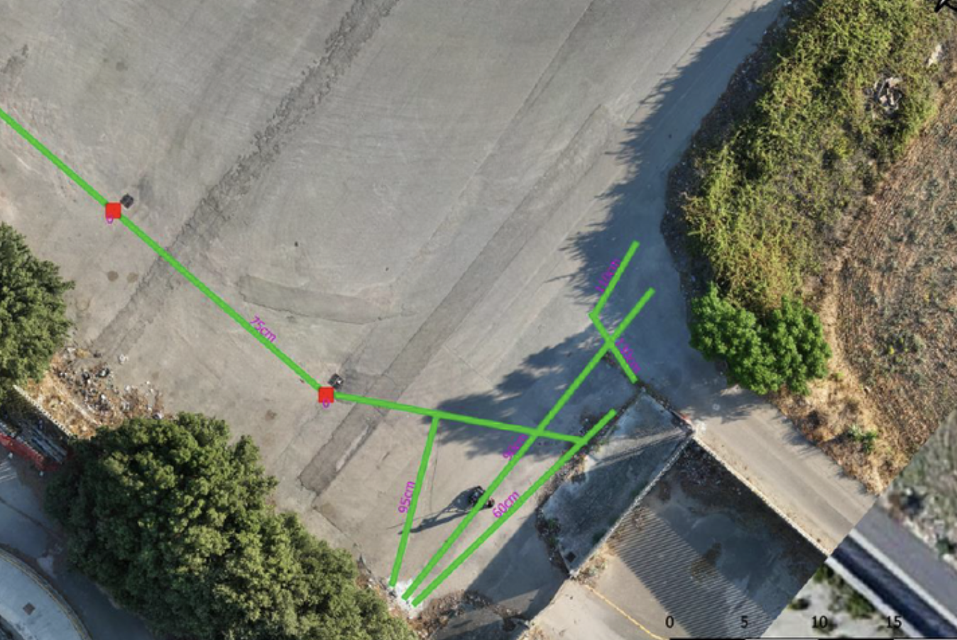
Accurate three-dimensional map of the utilities below the ground surface, optimizing survey activities to minimize disturbances to vehicular traffic.This was made possible by the capabilities of Xplora software, which enables excellent interpolation of sparse data, thus reducing fieldwork activities.
OUTPUTS
GIS project with 3D geometry of the underground utility layout down to a depth of 7 meters.
dwg file for CAD processing.
EXPLORE MORE
EPC & Infrastructure
Non-invasive surveys and GIS deliverables to locate undocumented buried infrastructure.
Utilities & Grid
Underground utility mapping supported the layout of high-power charging cables at the Vulcano Shopping Center in Nola.
Utilities & Grid
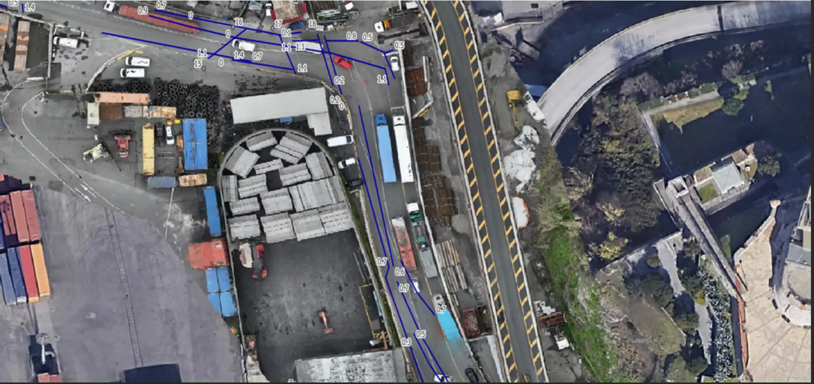
Mapping linear utilities and buried structures in a densely developed area of Genoa.
YOUR NEXT PROJECT
Let’s discuss your site, the risk and the outputs you need.
Request a quote