Utilities & Grid · SaaS
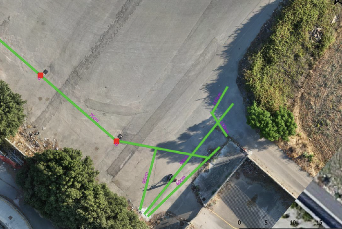
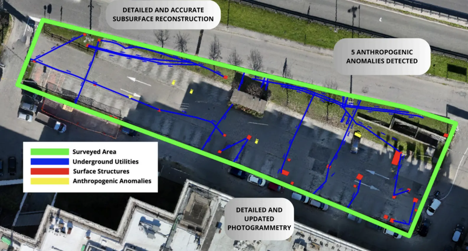
Underground utility mapping in Cisterna di Latina.
Client-uploaded data processed in the cloud for underground utility mapping.
−65%Processing time compared with traditional methods
Explore the case study  Request a quote
Utilities & Grid / DeepGeo.AI
Iren
THE CONTEXT
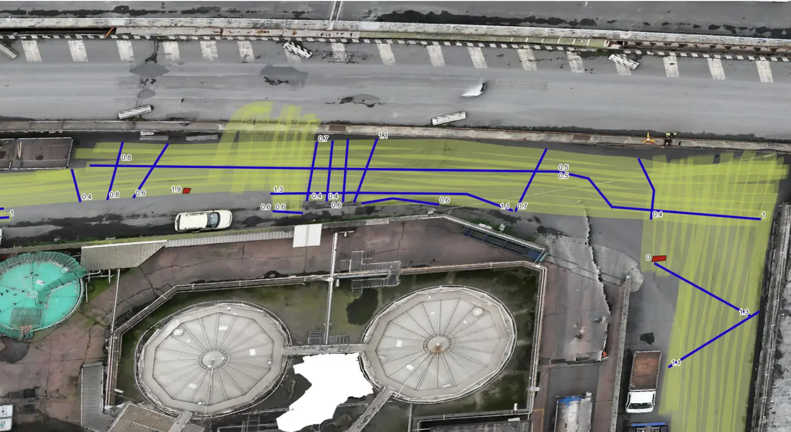
Subsurface mapping supported the design and subsequent installation of a new utility line.
THE CHALLENGE
The geological and environmental context required detailed characterization and design-ready deliverables.
OUTPUTS
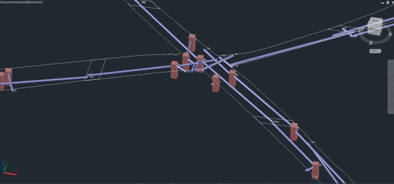
GIS project with a three-dimensional representation of the network.
DWG file for CAD processing.
EXPLORE MORE
Utilities & Grid · SaaS
Client-uploaded data processed in the cloud for underground utility mapping.
EPC & Infrastructure
Non-invasive surveys and GIS deliverables to locate undocumented buried infrastructure.
Utilities & Grid
Underground utility mapping supported the layout of high-power charging cables at the Vulcano Shopping Center in Nola.
YOUR NEXT PROJECT
Let’s discuss your site, the risk and the outputs you need.
Request a quote