Utilities & Grid · SaaS
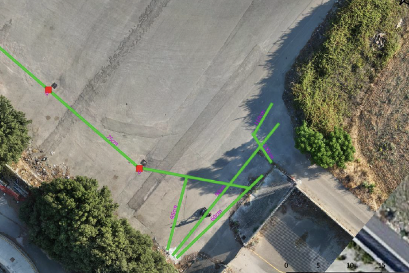
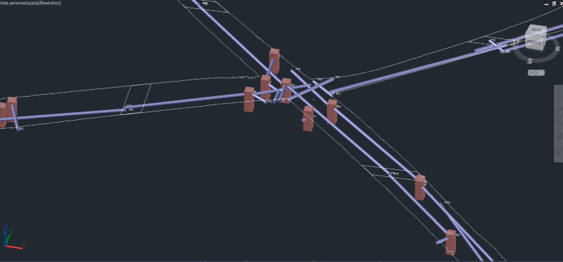
Underground utility mapping in Cisterna di Latina.
Client-uploaded data processed in the cloud for underground utility mapping.
−65%Processing time compared with traditional methods
Explore the case study  Request a quote
UXO / Utilities & Grid / Oil & Gas / Environmental
IRETI
THE CONTEXT
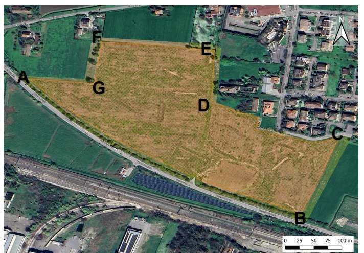
Non-invasive instrumental survey to a depth of 10 meters below ground level for the detection of unexploded ordnance (UXO) in the Collecchio (PR) area to support the design and subsequent installation of a pipeline.
THE CHALLENGE
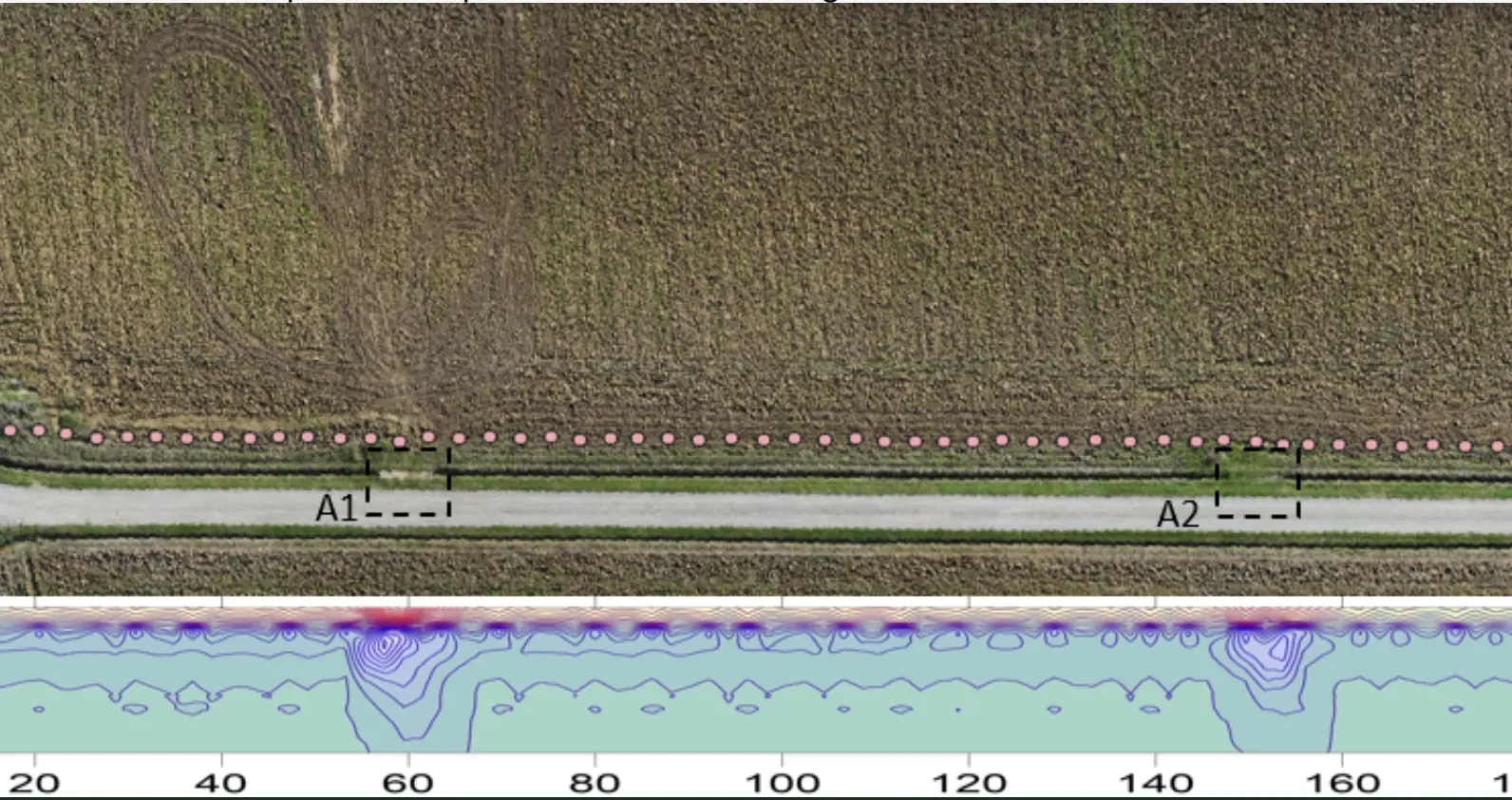
The geological complexity of the area, characterized by gravel deposits mixed with water-saturated clay layers, created significant challenges for the propagation of magnetic signals. Additionally, the presence of metallic fragments from previous agricultural activities increased noise in the recorded data, making it difficult to distinguish between UXO-related anomalies and spurious signals. The integrated approach and proprietary algorithms of Xplora enabled the isolation of signals relevant to UXO, significantly reducing false positives.
OUTPUTS
Three-dimensional map with characterization of ferromagnetic anomalies and identification of potential UXO-related risks for subsequent targeted clearance if required.
Technical report in compliance with national regulations.
EXPLORE MORE
Utilities & Grid · SaaS
Client-uploaded data processed in the cloud for underground utility mapping.
UXO
Non-invasive investigation and anomaly maps for a renewable energy development site.
EPC & Infrastructure
Non-invasive surveys and GIS deliverables to locate undocumented buried infrastructure.
YOUR NEXT PROJECT
Let’s discuss your site, the risk and the outputs you need.
Request a quote