Oil & Gas / Environmental
Mapping hydrocarbons and pollutants in Gricignano di Aversa.
Non-invasive mapping of hydrocarbon and pollutant concentrations supported preliminary subsurface characterization.
Oil & Gas / Environmental / DeepGeo.AI
ANAS S.p.A.

THE CONTEXT
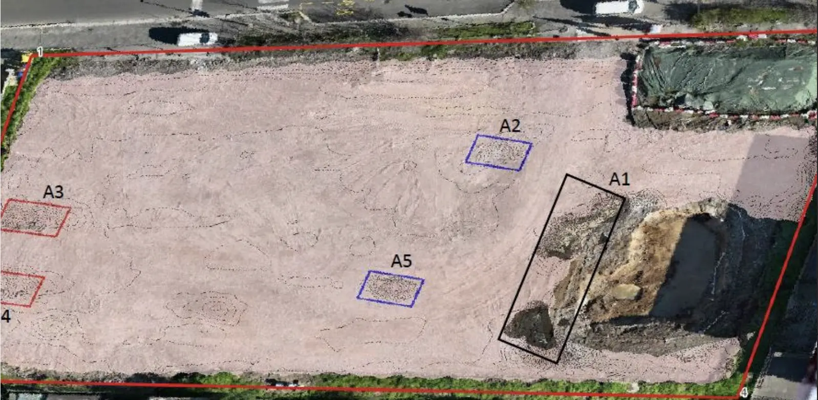
Characterization and mapping of hydrocarbon and pollutant concentrations in the subsoil using advanced non-invasive electromagnetic and multispectral technology.The goal was to create a preliminary characterization for ARPA to guide any necessary invasive analyses.
THE CHALLENGE
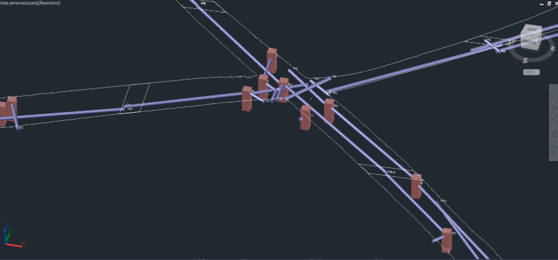
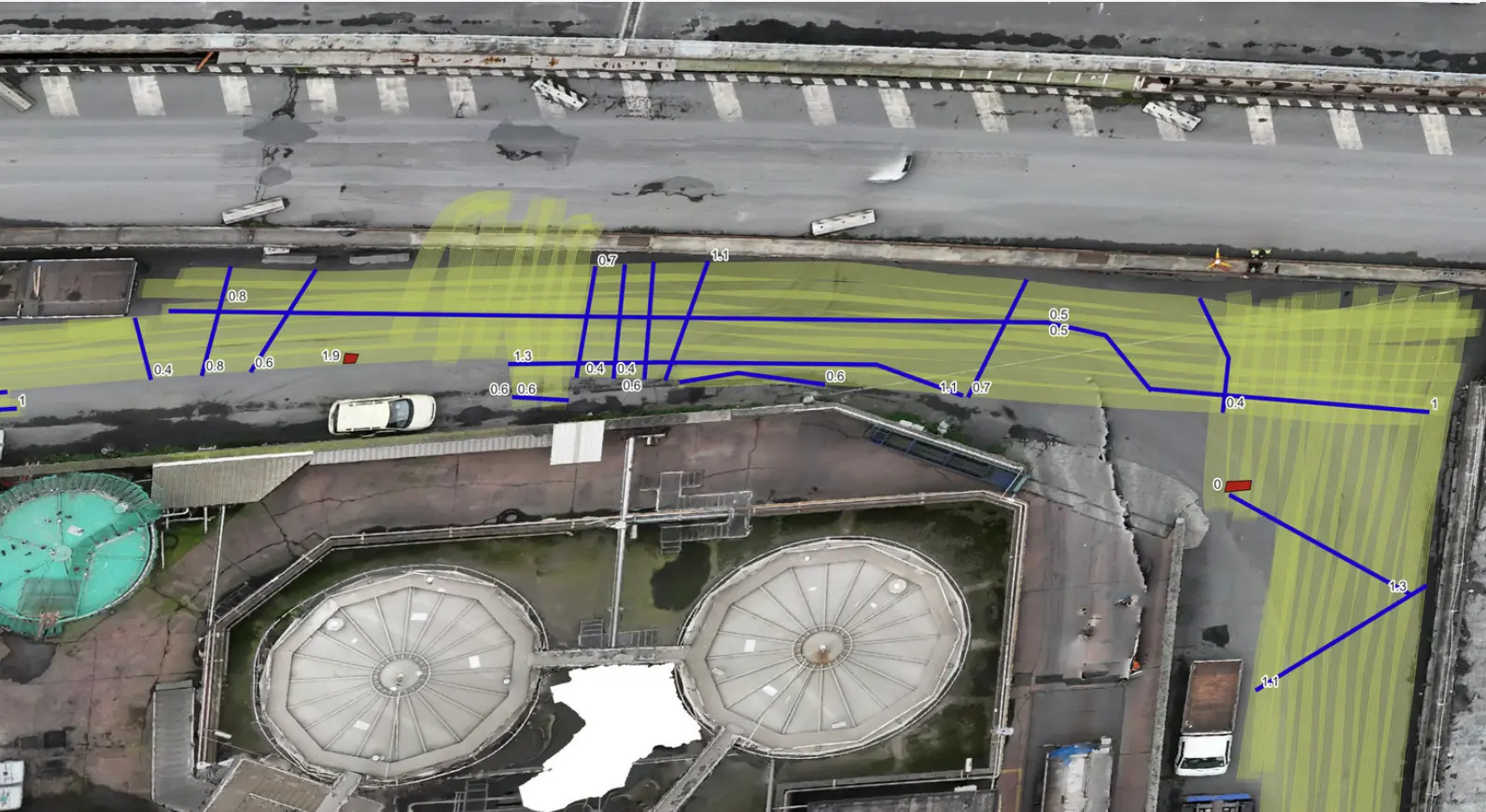
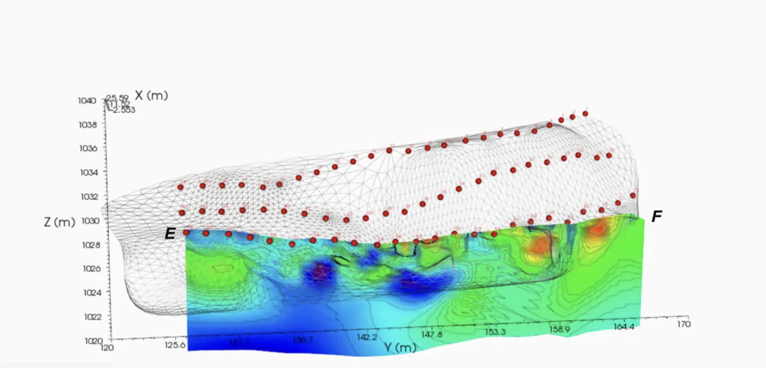
Xplora has combined electromagnetic and multispectral sensors with artificial intelligence algorithms, developing a sensor fusion system to generate detailed 3D subsurface maps capable of accurately detecting hydrocarbons and pollutants, determining their geographical location and depth in the ground without harming soils or ecosystems.
OUTPUTS
Shape File for GIS project with update territorial digitalization and pollutant 3D.
Map up to 14 meters depth Technical report compliant with national law.
EXPLORE MORE
YOUR NEXT PROJECT
Let’s discuss your site, the risk and the outputs you need.
Request a quote