
NEWS & PRESS · FORTUNE ITALIA
Drones and AI for clearing battlefield mines
Fortune Italia profiles Xplora and the way drones, sensors and artificial intelligence are integrated to detect mines, tunnels and other structures hidden below ground.
A profile of Xplora across Defence and civil applications
In his article published on 24 March 2026, Alessandro Pulcini traces Xplora’s development for Fortune Italia and its focus on analysing the ground and subsurface. The story opens with a demonstration involving an operational unit of the Italian Army and uses tunnel detection as a concrete example of a broader capability: bringing aerial platforms, sensors and software together to identify features that cannot be seen from the surface.
The article deliberately moves between sectors. The same core expertise is considered in Defence settings, where speed and distance from a threat are critical, and in civil work such as underground-utility mapping or preliminary ground analysis before construction. Timelines, procedures and responsibilities differ, but the underlying need remains: diverse measurements must become a readable picture for the people responsible for a decision.
Drones, sensors and artificial intelligence
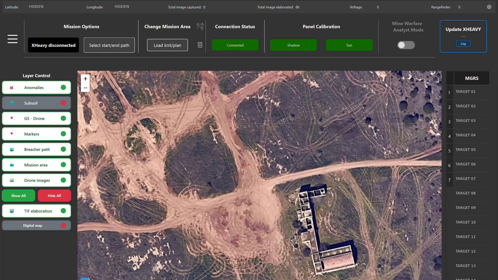
A drone provides a way to collect data while keeping the operator at a distance; it is not the final result on its own. Value comes from combining the platform with sensors suited to the scenario and algorithms that can correlate their readings. DeepGeo.AI sits within that process as Xplora’s architecture for organising acquired data and turning it into georeferenced 2D, 3D and GIS outputs for subsurface assessment.
For buried threats, the useful output is not simply an image of a flight. It is a representation that can help specialists locate anomalies, plan follow-up work and reduce human exposure. This continuity between acquisition, sensor fusion and AI-assisted interpretation connects Fortune Italia’s profile with Xplora’s Defence offering.
Why subsurface knowledge is strategic
Mines, unexploded ordnance, tunnels and buried infrastructure create different operational problems, yet share one defining condition: the relevant object is hidden and must be located before intervention begins. A dependable map supports route selection, specialist verification and operational planning. Fortune Italia’s feature therefore illustrates the dual-use nature of Xplora’s technology without conflating the contexts. UXO risk assessment remains a regulated specialist activity, while the same ability to understand the subsurface can also create value for infrastructure and construction projects.