
NEWS & PRESS · SIERRA LOBO
Sierra Lobo and Xplora team up for drone-mounted RMDS
Sierra Lobo’s release describes its agreement with Xplora to offer a drone-mounted Remote Mine Detection System to the United States market.
The official partnership announcement
Sierra Lobo’s release of 6 May 2024 announces its teaming agreement with Xplora to offer a drone-mounted Remote Mine Detection System to United States Government and Department of Defense markets. As the American partner’s official source, it defines the collaboration’s initial scope: combining technology and operational experience to make a mine-detection system available for Defence and humanitarian applications.
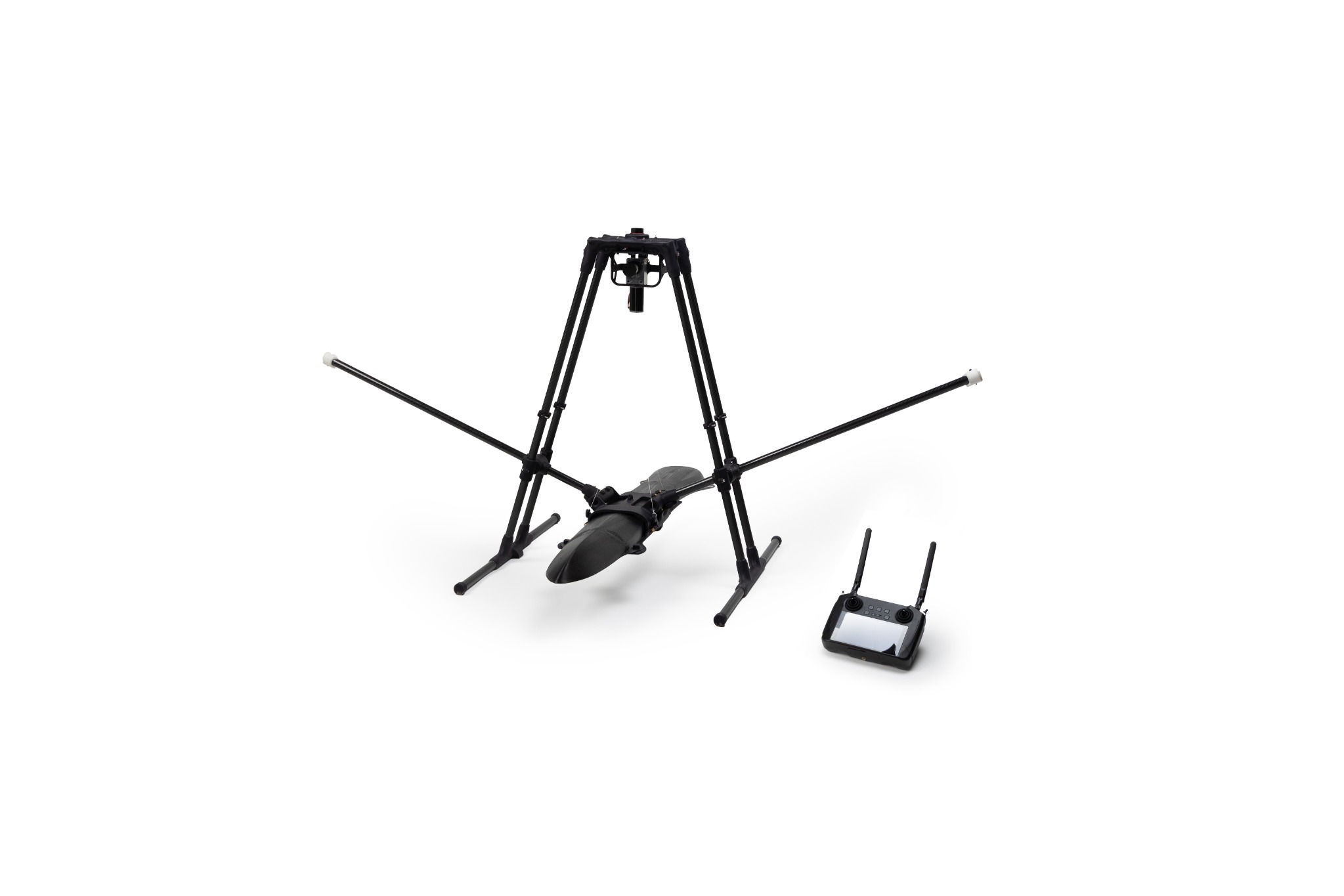
Sierra Lobo identifies the solution as SLIX RMDS and describes its configuration: an unmanned aerial vehicle, sensor suite, communications package, AI/ML software, integration processor and ground-station equipment. The list matters because it shows that the capability does not reside in one sensor. Useful information depends on orchestrating the complete chain, from signal acquisition to the way results are presented.
Integration and detection at a distance
In the RMDS model, the platform carries sensors above the area under examination, while communications and software return data to the control system. Artificial intelligence supports the correlation of readings and the location of anomalies; the operator remains responsible for interpreting the picture and defining the next action. Xplora presents this continuity between sensors, interface and decision-making in its Defence architecture.
The release states that SLIX RMDS had already been demonstrated to international Defence organisations, law-enforcement agencies and representatives of the United States Department of Defense. It also announces the companies’ joint participation in MSPIX 2024 at Fort Leonard Wood with a configuration including components aligned with the requirements identified for the experiment.
Beyond the first application
Sierra Lobo’s announcement also looks towards next-generation capabilities for enhanced threat detection and identification, as well as engineering, construction, energy infrastructure and ground utilities. This does not mean applying one procedure unchanged to every problem. It shows that autonomous platforms and sensor fusion can be configured around specific sensors, thresholds and outputs. In underground-utility mapping, for example, the objective is to reconstruct networks and anomalies so uncertainty is reduced before design or excavation begins.