
NEWS & PRESS · CORRIERE DELLA SERA
Historic agreement between Xplora and Sierra Lobo for anti-mine systems
Corriere della Sera’s coverage of the agreement between Xplora and Sierra Lobo to offer the SLIX RMDS mine-detection system in the United States.
An industrial agreement for the United States market
Corriere della Sera’s coverage, preserved through Xplora’s legacy archive, reports on the agreement between the Italian company and Sierra Lobo to develop and offer the SLIX RMDS system in the United States. The partnership brings together complementary contributions: Xplora’s subsurface detection and analysis technology and the American partner’s operational and industrial experience. The sources associated with the announcement identify United States Government and Department of Defense markets as its initial scope.
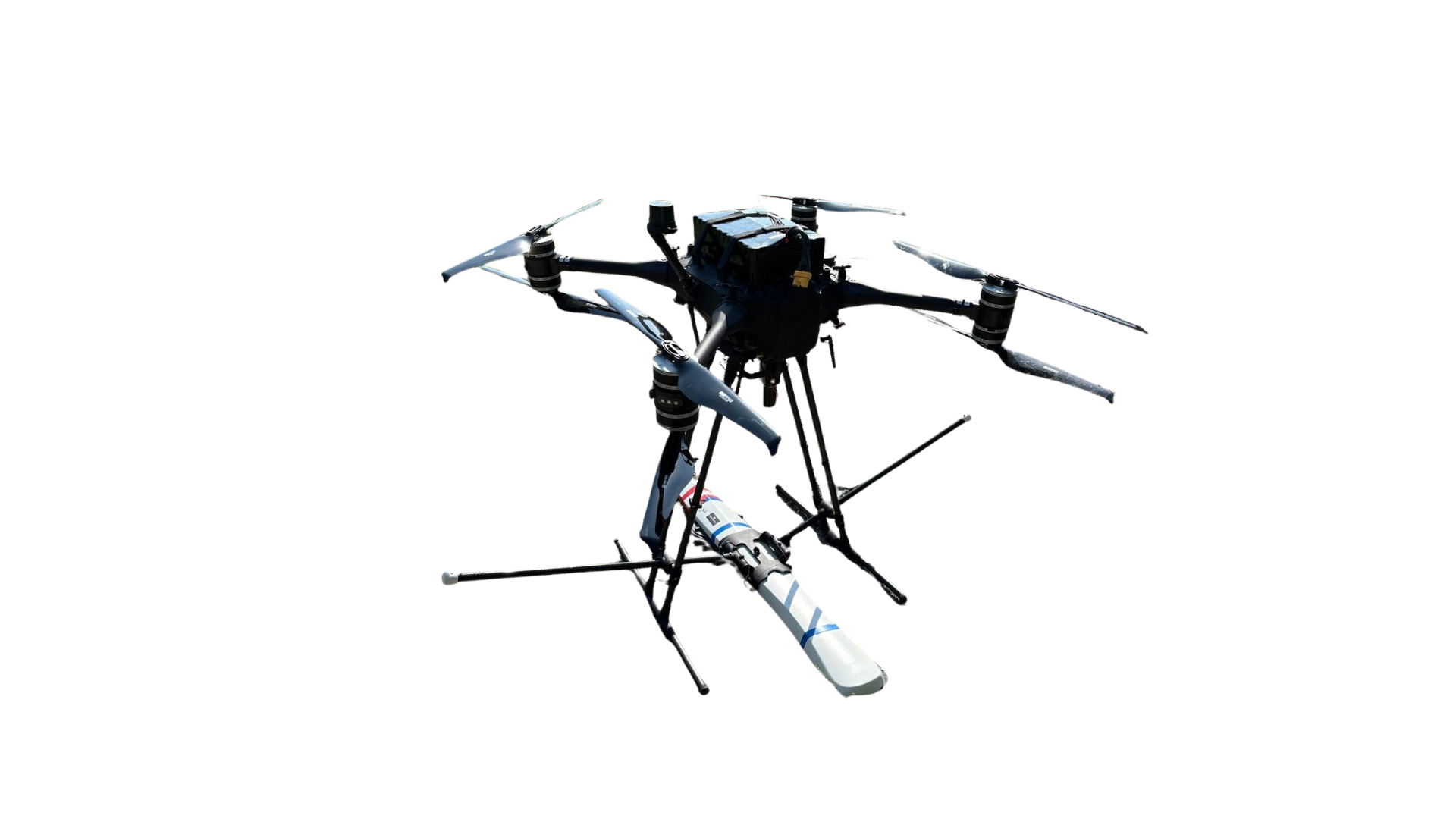
The announcement is not about a drone considered only as a carrier. It describes an integrated capability in which an aerial platform, sensor suite, communications package, interface processor and AI/ML software must operate as one system. The architecture is intended to acquire data above a suspected area and convert those measurements into information about buried threats.
The role of the RMDS system
RMDS stands for Remote Mine Detection System. Its central purpose is to allow part of the reconnaissance task to be carried out while personnel remain at a distance. Sensors collect signals from the ground, software correlates the readings, and the interface returns a map that can support the planning of subsequent checks and interventions. Xplora’s Defence page places that function within a wider operational workflow in which detection, data sharing and decision-making remain connected.
Sources linked to the agreement also refer to the companies’ participation in MSPIX 2024, the U.S. Army event for assessing emerging technologies. Moving from an industrial announcement into an experimentation environment allows a capability to be considered not only for technical performance, but also for the way it fits with field procedures, operators and existing equipment.
Operational safety and humanitarian applications
The partnership is connected with operational requirements as well as the clearance of conflict-affected land. Mandates and procedures differ, but both settings share the need to identify threats without unnecessary human exposure. Subsurface mapping therefore becomes decision support: it can help specialists focus verification, document anomalies and organise UXO risk activity with a more complete preliminary understanding of the ground.