
NEWS & PRESS · SKY TG24
Xplora and Sierra Lobo collaborate on an anti-mine drone for the United States
Sky TG24 covers the Xplora–Sierra Lobo collaboration and explains how SLIX RMDS integrates a drone, sensors, communications and AI for mine detection.
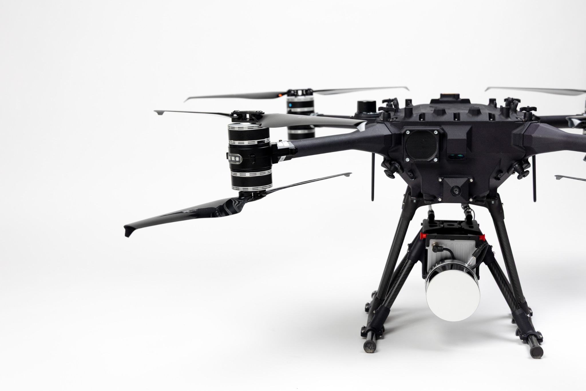
The collaboration covered by Sky TG24
Sky TG24 published a report on the agreement between Xplora and Sierra Lobo to bring the SLIX RMDS land-mine detection system to the United States. The publication presents the collaboration as a combination of Italian subsurface-analysis technology and an American partner with experience in government and Defence markets. The agreement is centred on an integrated capability rather than a single isolated component.
The coverage explains the system through its main elements: an unmanned aerial vehicle, a sensor suite, a communications package, artificial-intelligence and machine-learning software, and an integration processor. Each part has a distinct role, yet the useful result depends on acquisition, transmission and analysis operating as one coordinated process.
From flight data to a threat map
The aerial vehicle can observe an area without requiring a team to enter a potentially contaminated location at the outset. Sensors generate readings of the ground; software analyses those readings for anomalies compatible with buried threats; and the interface organises results as a map. This workflow is consistent with Xplora’s Defence approach, connecting field data with operational awareness and decision support.
Sky TG24 also reports that the system had been presented to representatives of international organisations, law-enforcement bodies and the United States Department of Defense. The article then places the agreement on the path to MSPIX 2024 at Fort Leonard Wood, where emerging technologies are considered with end users. The value of that setting is the opportunity to assess how a system fits real procedures, not simply whether it can demonstrate a technical function.
Distance from the threat and quality of information
For detection work, keeping the operator at a distance can reduce exposure during reconnaissance, but it does not remove the need for specialist expertise. Generated information must still be interpreted, verified and incorporated into an intervention plan. That is where UXO risk mapping becomes useful: it helps focus verification, document anomaly locations and prepare subsequent activity with a clearer view of the subsurface.